
Real Estate Developer
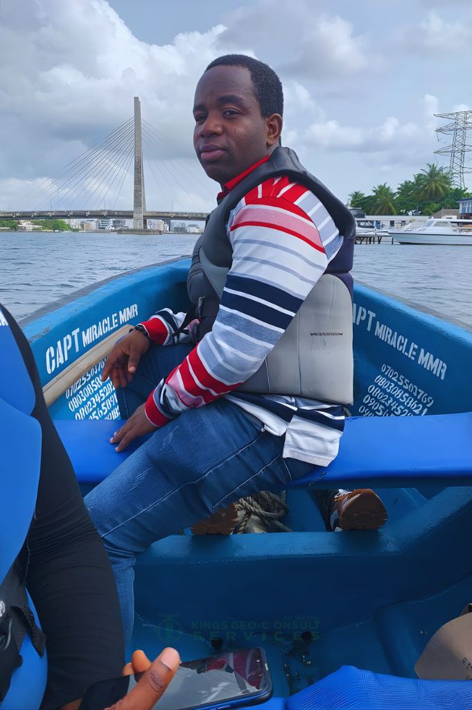
Their hydrographic survey helped us meet strict compliance requirements for a Lagos waterfront project. The team was professional, fast, and reliable — we’ll definitely partner with them again on future infrastructure projects

Infrastructure Contractor
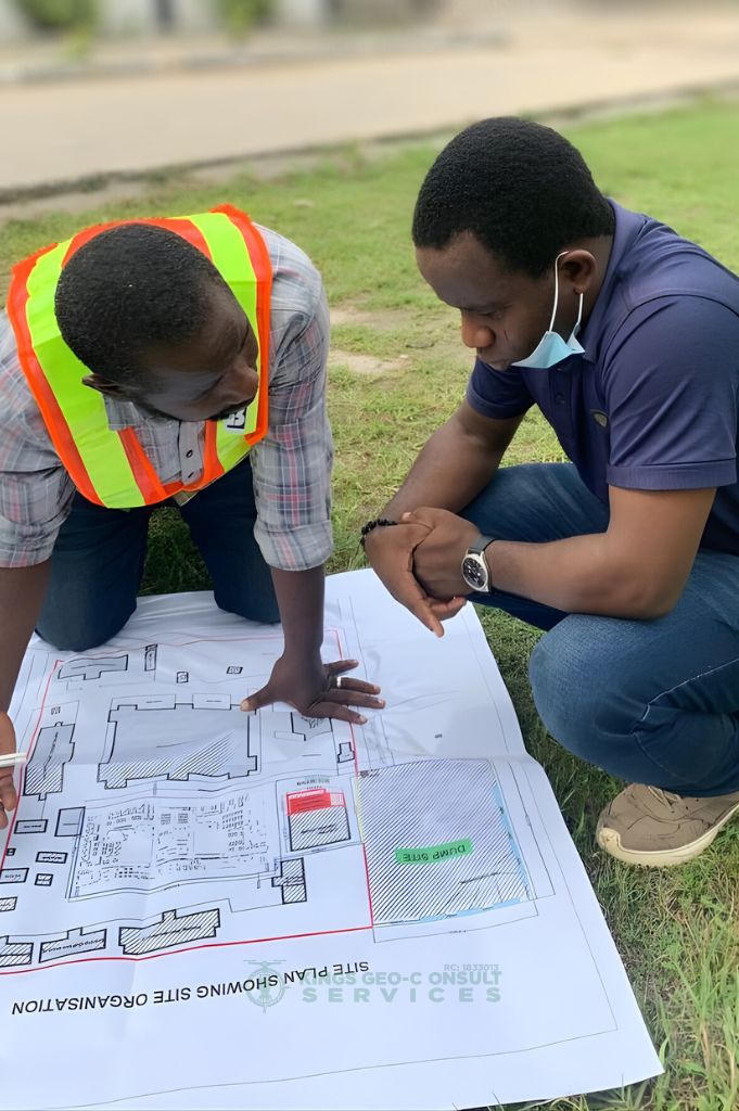
I finally had peace of mind about my property boundaries. Kings Geo-Consult explained every step clearly, provided detailed reports, and ensured my land was properly documented to avoid disputes. I highly recommend them.
Private Landowner
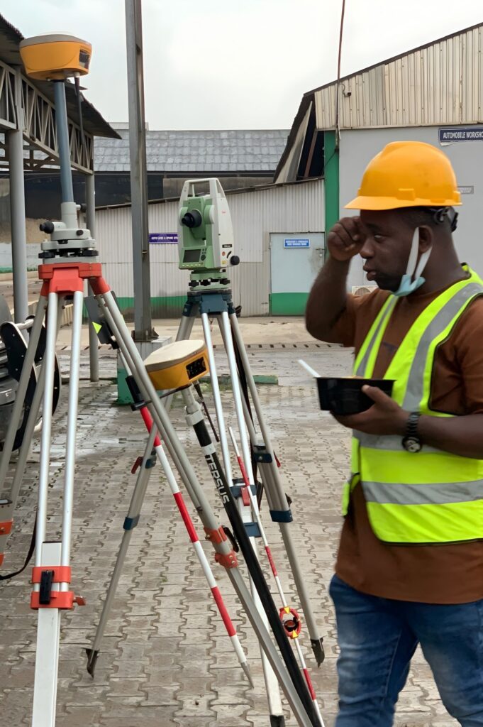
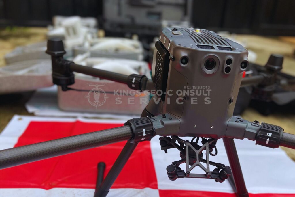
Their UAV training program was a game changer for my career. The sessions were practical, hands-on, and backed by real industry knowledge. I now feel confident flying drones and delivering professional survey results.
Surveyor & Trainee
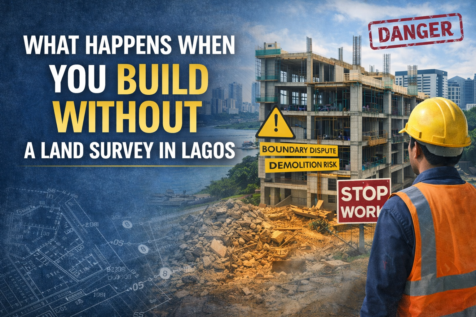
What Happens When You Build Without a Land Survey in Lagos
In Lagos, construction projects often move fast. Land is expensive, timelines are tight, and developers are under pressure to...
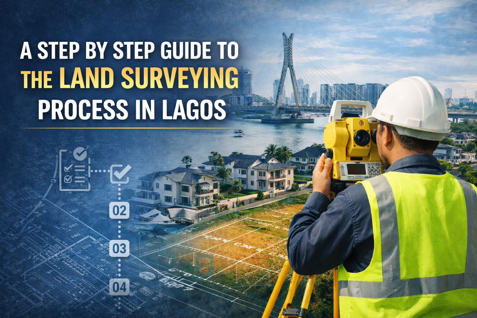
A 2026 Guide to Land Surveying Process in Lagos You Should Know
Not sure how land surveying works in Lagos? This step by step guide explains the land surveying process, what...

How Land Surveying Protects Property Buyers in High Value Lagos Areas
Property acquisition in Lagos is both an opportunity and a risk. As land values continue to rise across prime...
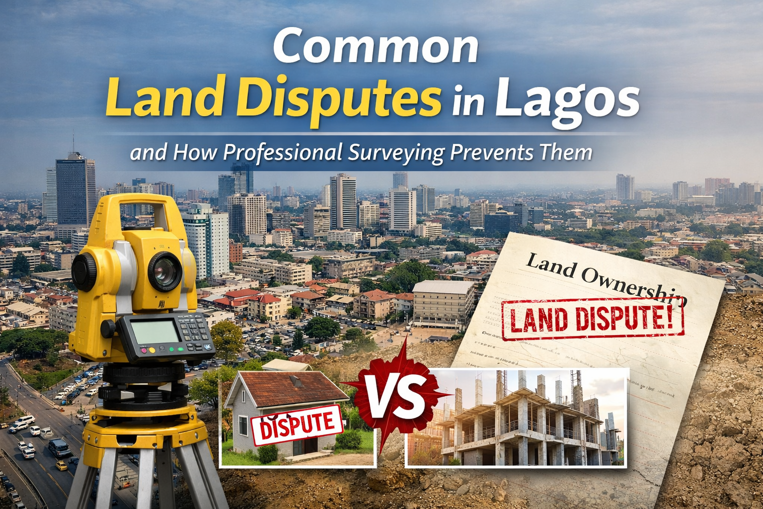
Common Land Disputes in Lagos and How Professional Surveying Prevents Them
Land ownership disputes are one of the most common and expensive problems property owners face in Lagos. With rapid...
Kings Geo-Consult gave us accurate layouts for our Lekki estate development. Their drone mapping saved us weeks of work and reduced costs. They truly understand what real estate developers need and delivered beyond expectations.