Buying or developing property in Lagos can be highly rewarding — but also risky if done without proper surveys. Many developers, in their rush to break ground, overlook crucial surveying steps that protect their investment.
Unfortunately, these oversights often lead to costly disputes, project delays, and even lawsuits.
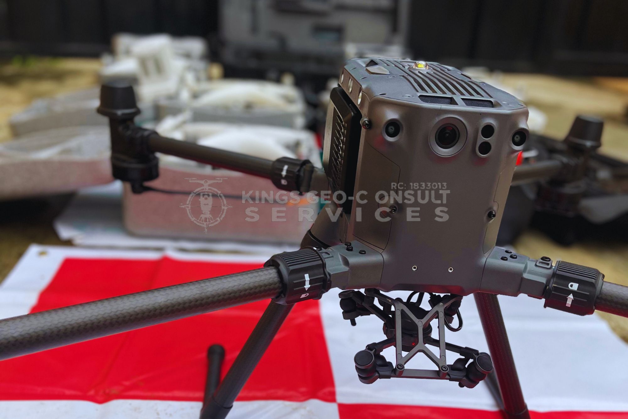
As a trusted Land Surveyor in Lagos, Kings Geo-Consult has seen firsthand the mistakes property developers make.
Below, we highlight the top 5 pitfalls and how to avoid them.
1. Starting Construction Without a Proper Boundary Survey
One of the most common mistakes is skipping a boundary survey. In high-demand areas like Ikeja and Lagos Mainland, land disputes are frequent because multiple parties may claim the same plot. Without a professional survey, developers risk building on land that extends into another person’s property.
A licensed surveyor provides officially recognized boundary markers, ensuring your project is built on the correct coordinates.
2. Ignoring Encroachment Risks in Busy Areas
Lagos is densely populated, and land use is constantly shifting. In areas like Surulere and Mushin, encroachment is common — neighbors “shifting fences” or gradually occupying land that isn’t theirs. Developers who fail to commission a proper encroachment detection survey often lose valuable space or face legal disputes later.
3. Skipping Topographic & Layout Surveys Before Building
Every piece of land has unique terrain. Failing to carry out a topographic survey before designing your building layout can lead to serious problems: poor drainage, unstable foundations, or higher construction costs.
In Lekki and Eti-Osa, where land near the waterfront is prone to flooding, skipping this step can be disastrous. Kings Geo-Consult provides accurate terrain data that helps architects and engineers design with confidence.
4. Relying on “Informal” or Fake Surveyors
Some developers try to cut costs by hiring unlicensed individuals posing as surveyors. The result? Inaccurate surveys, fraudulent documents, and wasted money. Worse still, such errors can make your Certificate of Occupancy (C of O) or other legal documents invalid.
Working with a licensed and certified land surveyor in Lagos protects you from scams and ensures your project meets government standards.
5. Overlooking Hydrographic Surveys in Waterfront Developments
Developers in Eti-Osa, Lekki, and Apapa often forget the importance of hydrographic surveys when working near rivers, lagoons, or coastal land. Without understanding water depth, tidal effects, and soil conditions, projects in these zones can face erosion, flooding, or even structural collapse.
At Kings Geo-Consult, we use UAVs, GPS systems, and hydrographic equipment to deliver accurate water-related data, keeping projects safe and sustainable.
Skipping professional surveys may save money in the short term, but it often costs far more in disputes, redesigns, or failed projects. Whether you’re developing in Ikeja, Lekki, Surulere, or Eti-Osa, hiring a certified land surveyor is the smartest move you can make.