Land documentation is one of the most misunderstood aspects of property ownership in Lagos. Many buyers focus on price and location but overlook the importance of proper documentation until problems arise. Survey plans play a central role in land documentation, approvals, and long term ownership security.
Understanding how survey plans fit into land documentation helps property owners avoid disputes, delays, and financial loss.
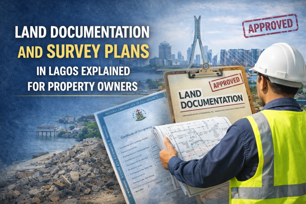
What Land Documentation Means in Lagos
Land documentation refers to the official records that establish ownership, boundaries, and legal recognition of land. These records are required to prove ownership, process approvals, and protect property rights.
Without proper documentation, land ownership remains uncertain. Even physical possession of land does not guarantee legal security if documentation is incomplete or invalid.
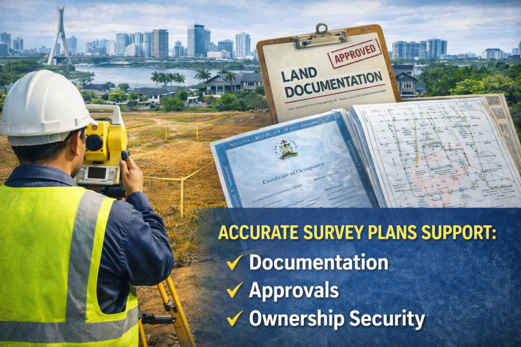
Survey plans form the foundation of most land documentation processes in Lagos.
What a Survey Plan Represents
A survey plan is a detailed representation of land boundaries, size, and position prepared by a licensed surveyor. It shows coordinates, dimensions, and reference points that identify a specific piece of land on the ground.
Survey plans are used by authorities to verify land location and ownership. They are required for many official processes and are considered legal records when prepared by licensed professionals.
An inaccurate or invalid survey plan can disrupt the entire documentation process.
Why Survey Plans Are Required for Documentation
Survey plans provide verified information that authorities rely on to assess land claims. They help prevent overlapping claims, clarify boundaries, and ensure that land records are accurate.
In Lagos, survey plans are required for processes such as land registration, title processing, and approval applications. Without a valid survey plan, documentation applications may be rejected or delayed.
Professional surveying ensures that survey plans meet regulatory requirements.
How Survey Plans Support Approval Processes
Approval processes often involve multiple agencies and checks. Survey plans help authorities confirm that land boundaries align with approved layouts and do not conflict with existing records.
Survey plans also identify whether land falls within restricted zones, government reserved areas, or right of way corridors. This information is critical during approval assessment.
Proper survey plans reduce the risk of rejection and help approvals move smoothly.
Common Documentation Problems Caused by Poor Surveying
Many documentation problems in Lagos stem from inaccurate or unlicensed surveys. These problems include conflicting records, boundary disputes, and rejection of applications.
In some cases, property owners are required to redo surveys or correct documentation at significant cost. These delays can affect development timelines and increase expenses.
Professional land surveying helps prevent these issues by producing accurate and compliant survey plans from the start.
Survey Plans and Long Term Property Security
Beyond approvals, survey plans provide long term security for property ownership. They serve as permanent records that protect land rights and support future transactions.
Buyers and investors often request survey verification before completing transactions. A professionally prepared survey plan increases property credibility and marketability.
Survey plans also support inheritance planning and dispute resolution.
Why Licensed Surveyors Matter
Only licensed surveyors are authorized to prepare survey plans suitable for official use. Licensed professionals understand regulatory requirements and use approved methods.
Engaging unlicensed individuals may lead to invalid survey plans that cannot be used for documentation or approvals. This exposes property owners to risk and unnecessary cost.
Working with licensed surveyors protects the integrity of the documentation process.
Working With Trusted Survey Professionals in Lagos
At Kings Geo Consult, licensed surveyors prepare accurate and compliance ready survey plans that support documentation, approvals, and long term ownership security.
Land documentation in Lagos can be complex, but understanding the role of survey plans simplifies the process. Survey plans are not just technical drawings. They are essential tools that protect property ownership and support legal recognition.
Clients receive clear explanations and reliable records that help them move forward with confidence.
By investing in professional land surveying, property owners reduce risk, avoid delays, and secure their investments for the future.
Contact Us: +23480-6796-7560