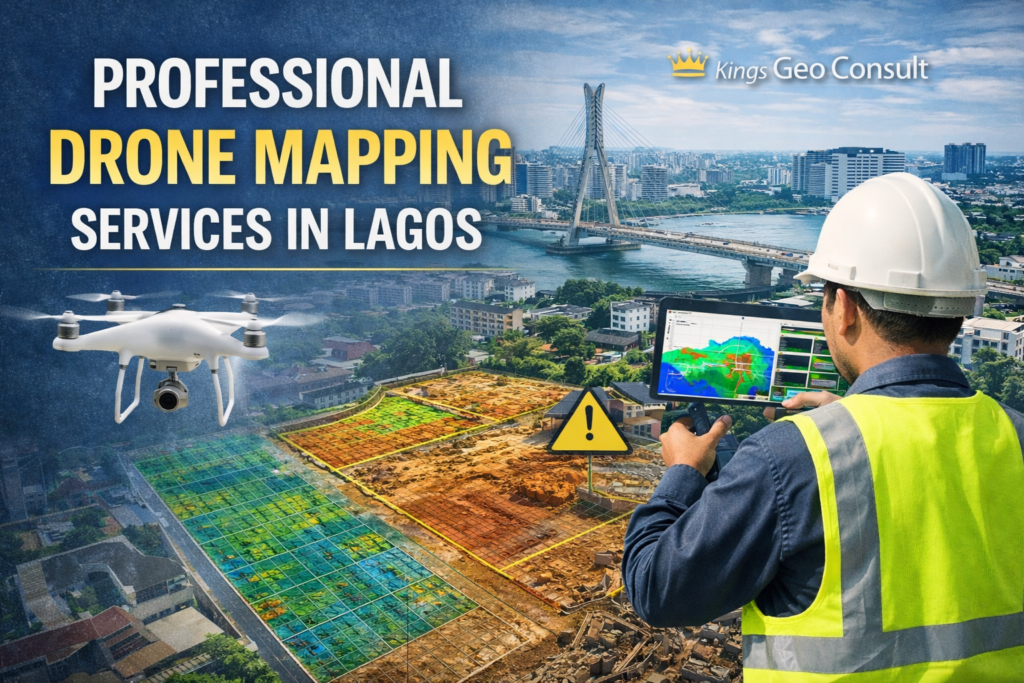
Drone mapping has transformed how land, construction, and infrastructure projects are planned and executed. In a fast growing city like Lagos, speed, accuracy, and clarity are essential.
At Kings Geo Consult, we provide professional drone mapping services that deliver high-resolution aerial data for informed decision-making.
Our drone mapping services support developers, engineers, planners, and property owners who require accurate spatial information without delays or guesswork.
What Drone Mapping Is and Why It Matters
Drone mapping involves the use of unmanned aerial vehicles to capture detailed aerial images and data of land and structures. This data is processed into accurate maps, models, and measurements that support planning and analysis.
In Lagos, where large areas are developed rapidly and access can be challenging, drone mapping provides a faster and more efficient way to understand land conditions and project environments.
Drone mapping reduces risk, improves accuracy, and saves time compared to traditional methods.
Our Drone Mapping Services
We deliver professional drone mapping solutions tailored to real-world project needs in Lagos.
- Aerial land mapping for large sites and estates
- Construction progress monitoring and site analysis
- High-resolution orthomosaic maps
- Terrain and elevation mapping
- Site inspection and visual documentation
- Mapping support for planning and design
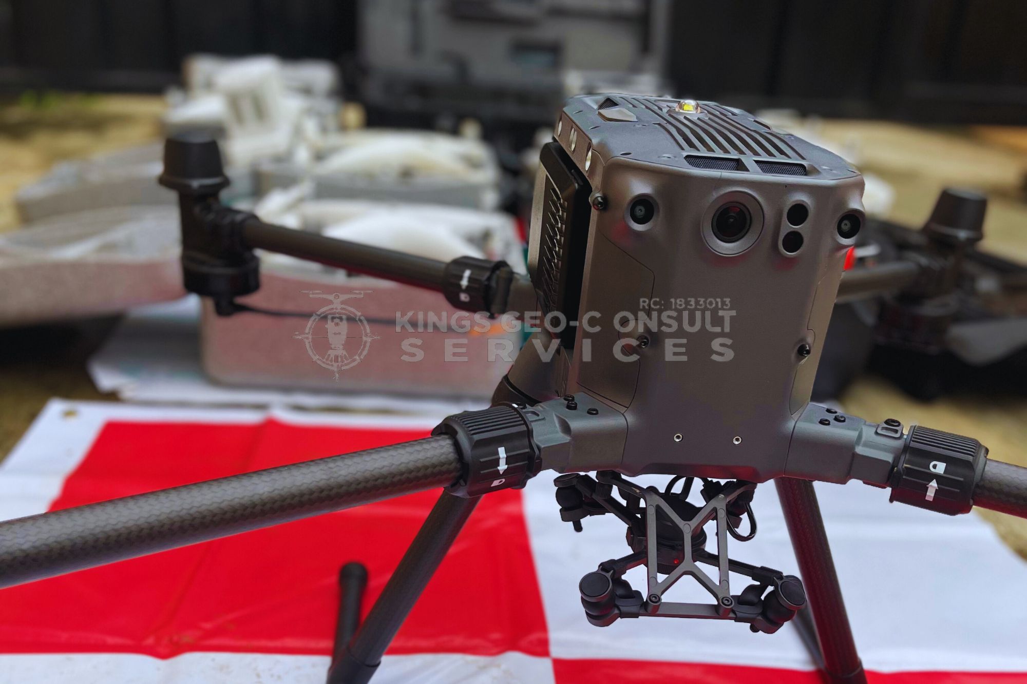
All drone mapping operations are conducted using professional-grade UAVs and processed with industry-approved software to ensure accuracy and reliability.
Call us: +23480-6796-7560
Who Drone Mapping Is For
Our drone mapping services are designed for:
- Real estate developers and estate managers
- Construction and engineering firms
- Infrastructure and utility projects
- Landowners with large or complex sites
- Planning and design professionals
If your project requires accurate, efficient spatial data, drone mapping provides a powerful solution.
Why Drone Mapping Is Ideal for Lagos Projects
Lagos presents unique challenges, including dense development, traffic constraints, and limited site access. Drone mapping overcomes many of these challenges by capturing comprehensive data from the air.
Drone mapping allows teams to visualize entire sites, identify issues early, and make informed decisions without repeated site visits. This is especially valuable for large estates, waterfront areas, and infrastructure corridors.
The result is improved project coordination and reduced delays.
Accuracy and Compliance You Can Trust
Professional drone mapping is not just about flying drones. Accuracy depends on proper planning, data processing, and integration with surveying principles.
At Kings Geo Consult, drone mapping is conducted by professionals with extensive surveying expertise. This ensures that aerial data aligns with ground realities and supports technical decision-making.
Our outputs are suitable for professional use and integration into planning and construction workflows.

Drone Mapping Across Lagos
We provide drone mapping services across Lagos, including Eti Osa, Ikeja, Surulere, Apapa, Lagos Island, and surrounding areas.
Whether your project is residential, commercial, or infrastructural, our drone mapping services are available across the city.
Why Choose Kings Geo-Consult Services Ltd for Drone Mapping
Clients choose Kings Geo Consult for drone mapping because we offer:
- Professional UAV operations backed by surveying expertise
- High resolution and accurate mapping outputs
- Clear reporting and usable deliverables
- Experience working on real estate and infrastructure projects
- Reliable turnaround times
Our focus is to deliver data that supports confident project decisions.
Ready to Use Drone Mapping for Your Project
If you need fast, accurate, and reliable aerial mapping for your project in Lagos, professional drone mapping is the solution.
Call now to discuss your drone mapping requirements
Book a site inspection with our UAV mapping professionals today