What areas in Lagos do you serve for land surveying and drone mapping?
We provide professional land surveying and drone mapping services across Lagos, including locations such as Apapa, Eti-Osa, Ikeja, Lagos Island, Kosofe, Lagos Mainland, Mushin, Surulere, and Somolu. Our coverage also includes major corridors like Ikorodu Road, Lekki-Epe Expressway, Lagos-Badagry Expressway, Apapa-Oshodi Expressway, Airport Road, Lagos-Ibadan Expressway, and waterfront zones along the Atlantic Ocean, Lagos Lagoon, and Badagry Creek. For large or specialized projects, we also serve clients across Nigeria.
How accurate are your land and drone surveys?
Our surveys are carried out using licensed cadastral workflows, advanced GNSS/GPS equipment, UAVs, GIS tools, and professional mapping software. This ensures high accuracy for land boundaries, layouts, topographic data, and engineering applications.
How long does a typical land survey take in Lagos?
Timelines depend on land size, terrain, and survey type. Most residential land surveys are completed within 3–21 days, while larger estates, engineering, or hydrographic surveys may take 1–7 weeks depending on scope and conditions.
Do you provide legally recognized survey plans for land transactions?
Yes. All cadastral and boundary surveys are conducted by licensed professionals and meet Surveyors Council of Nigeria (SURCON) requirements for legal documentation and land transactions.
Do I need a land survey before buying property in Lagos?
Yes. A professional land survey helps verify boundaries, confirm plot size, detect encroachments, and prevent disputes before purchase. It is one of the most important steps before completing any land transaction in Lagos.
Can you detect land encroachments or boundary disputes?
Absolutely. We carry out boundary re-establishment and comparison surveys to identify encroachments, disputed boundaries, and inconsistencies in existing land records.
How much does it cost to hire a land surveyor or drone survey company in Lagos?
Survey costs depend on the location, land size, and type of survey required. Residential land surveys are typically more affordable, while engineering, hydrographic, and drone mapping services vary based on complexity and deliverables.
Do you offer fast or urgent land survey services in Lagos?
Yes. We can prioritize urgent projects and offer accelerated timelines where feasible, depending on project scope, location, and regulatory requirements.
Do you provide digital survey deliverables?
Yes. Survey outputs are delivered in digital formats such as PDF, AutoCAD (DWG/DXF), GIS layers, orthomosaics, DEMs, KMZ, and other geospatial file types based on client needs.
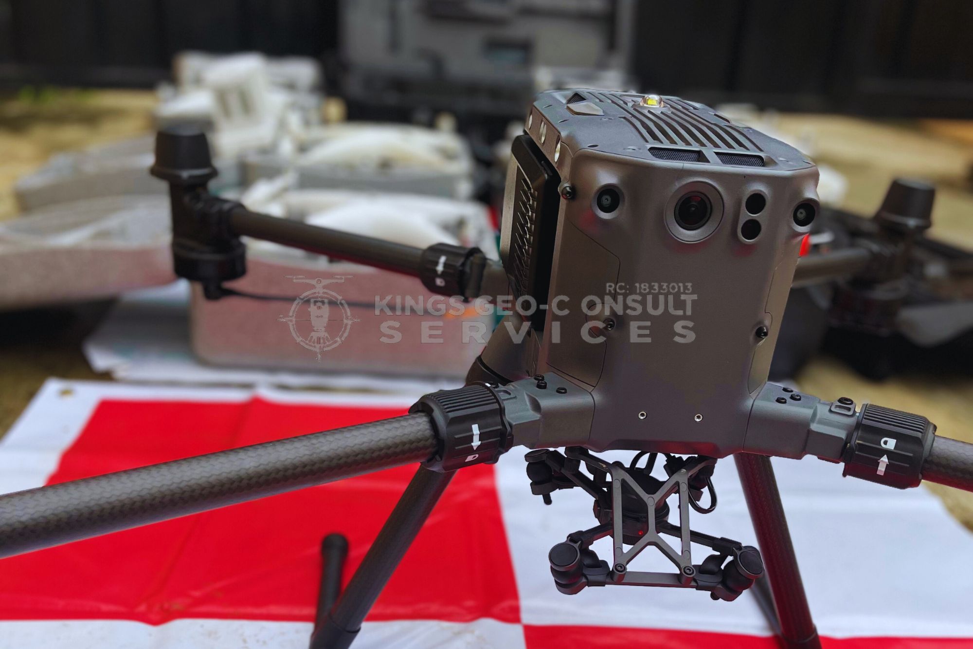
Are drone surveys safe and approved in Nigeria?
Our drone operations follow Nigerian aviation and safety regulations. All UAV flights are planned and executed by trained professionals with proper safety procedures in place.
Can drone surveys replace traditional land surveys?
Drone surveys improve speed and data coverage, but traditional ground surveying is still required for legal boundary documentation. We often combine both methods to achieve accurate and compliant results.
Do you carry out hydrographic or underwater surveying?
Yes. We provide hydrographic and bathymetric surveys for waterways, lagoons, coastal zones, ponds, and waterfront developments requiring depth and seabed profiling.
Do you handle surveys for waterfront or reclaimed land in Lagos?
Yes. We specialize in surveys for waterfront and reclaimed land, including coastal, lagoon, and creek-adjacent properties across Lagos, where accuracy and compliance are critical.
Can you survey large estates or multi-parcel lands?
Yes. We handle large-scale estate layouts, subdivision planning, and multi-parcel mapping for real estate developments and institutional projects.
Do you provide construction and engineering surveys?
Yes. We support construction projects with setting-out, leveling, monitoring, alignment, and as-built surveys, from project start to completion.
What industries do you work with?
We work with real estate developers, construction and engineering firms, government agencies, marine operators, estate planners, and private landowners across Lagos and beyond.
Can you work with lawyers, developers, or government agencies on my project?
Yes. We regularly collaborate with lawyers, developers, engineers, and government agencies to support approvals, documentation, and compliant project execution.
Do you offer UAV or drone training programs?
Yes. We provide practical UAV training for beginners, surveyors, and organizations, covering flight operations, data capture, and mapping workflows.
How do I know which type of survey my project needs?
We offer pre-survey consultation to understand your project goals, location, and requirements, then recommend the most suitable survey method to save time and cost.
What makes Kings Geo-Consult different from other land surveyors in Lagos?
Our combination of licensed expertise, UAV-powered accuracy, modern GIS technology, and clear client communication sets us apart. We don’t just deliver survey data — we help clients make confident, dispute-free decisions.
Are your surveyors licensed and registered in Nigeria?
Yes. All our land surveys are carried out by licensed and registered survey professionals in compliance with Nigerian surveying regulations and professional standards.
Can you help verify land documents before I proceed with a purchase?
Yes. We assist clients by reviewing survey plans, boundary information, and site conditions to help identify inconsistencies, encroachments, or red flags before land transactions are finalized.
Do you handle surveys for government approvals and submissions?
Yes. Our survey outputs are suitable for use in planning approvals, development applications, and statutory submissions, depending on project scope and regulatory requirements.
Can you carry out surveys on disputed or sensitive land locations?
Yes. We handle surveys on disputed, high-risk, or sensitive sites with professionalism, clear documentation, and accurate boundary re-establishment to support resolution and decision-making.
Do you provide site inspections before confirming a project?
Yes. We often conduct site inspections to assess terrain, accessibility, and project requirements before finalizing survey scope, timelines, and cost.
Can you combine drone surveys with traditional land surveying on the same project?
Yes. We often combine UAV data capture with ground surveys to improve accuracy, speed, and overall project outcomes, especially for large or complex sites.
Do you provide post-survey support if questions arise later?
Yes. We provide clarification and guidance after survey delivery to ensure clients fully understand their reports and can use them confidently.
Do you handle surveys outside Lagos State?
Yes. While our primary focus is Lagos, we also handle large-scale and specialized projects across Nigeria upon request.
Where is your office?
Suite C7, Demo’s Plaza, Miccom Bus-stop, Akowonjo-Egbeda Road, 102213, Lagos.