Geospatial Mapping (GIS)

Every successful project begins with the right measurements. Secure expert support from KINGS GEO-CONSULT now: +234 806 796 7560

Geospatial mapping transforms raw location data into actionable insights for land development, planning, environmental management, and asset monitoring.

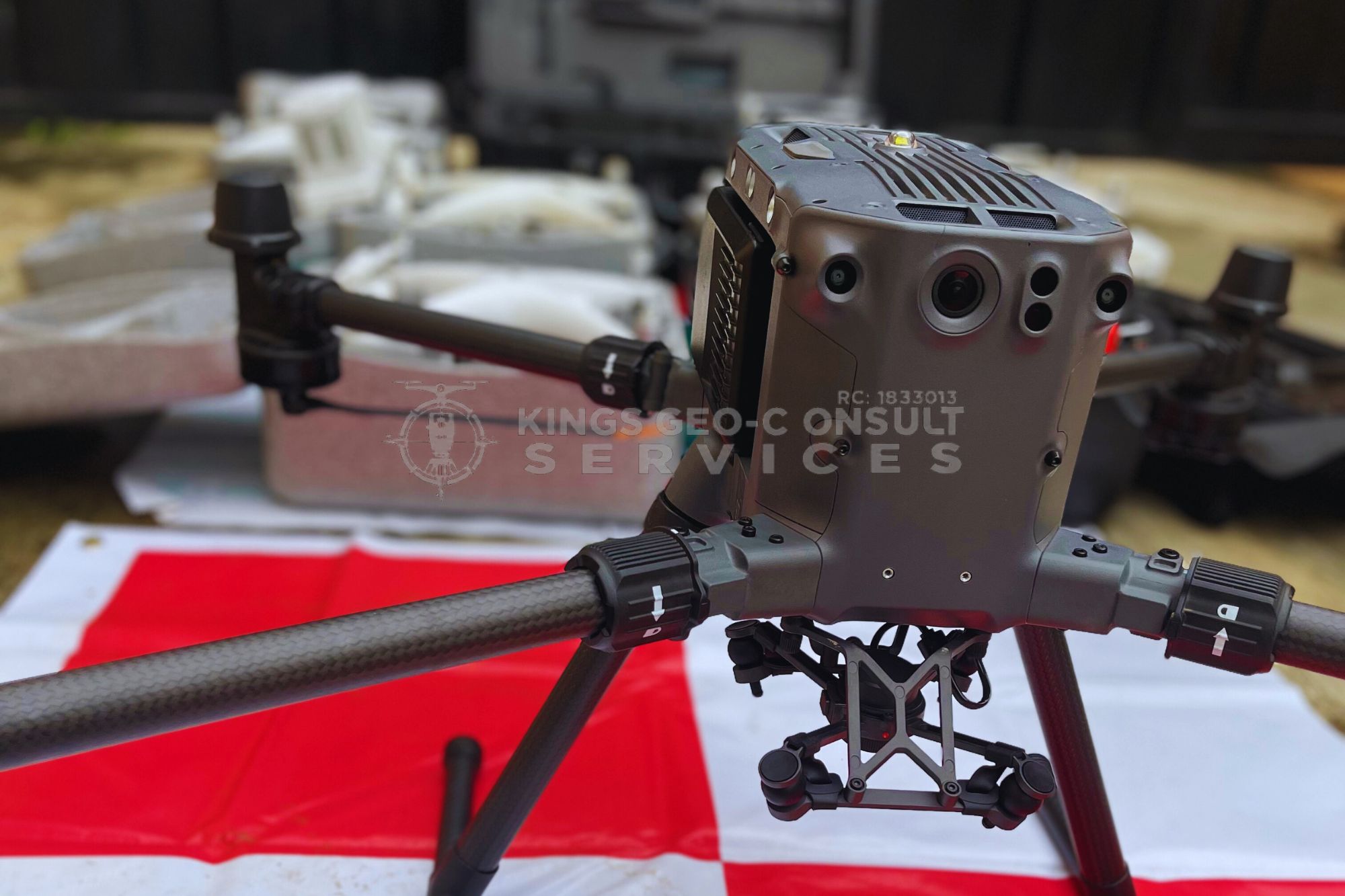
Kings Geo-Consult uses GIS tools, drone imagery, and modern survey datasets to create detailed digital maps, spatial models, and analytics tailored to your needs.

We help clients visualize land use, analyze terrain features, design layouts, track changes, and make data-driven decisions.

Our mapping solutions support real estate developers, government agencies, construction firms, environmental planners, and private property owners across Lagos and beyond.

With high-quality data processing and clear reporting, we turn complex geospatial information into simple, usable outputs.

Acquiring landed properties of any kind without a professional survey is like building a house without a foundation. You might get lucky, but the risks are enormous. A licensed land surveyor protects your investment, saves you from legal battles, and gives you confidence in your property ownership.

Surv. Adewale Olusegun Abolaji - Kings Geo-Consult

Why Choose Kings Geo-Consult in Lagos?

Kings Geo-Consult is trusted across Lagos because we combine licensed land surveying expertise with deep local knowledge and a client-first approach:

If your property is in Lagos, our team is ready to support your project.

We don’t just measure land, we help clients avoid costly mistakes and build with confidence across Lagos, including Eti-Osa, Ikeja, Surulere, Apapa, Lagos Island, and surrounding areas.

Ready to get your land surveyed properly?

Avoid disputes, delays, and uncertainty.

Work with licensed surveyors trusted across Lagos.

Want to speak directly with one of our experts?

Call now for inspection or enquiries on:

Share This :

Frequently Asked Questions

At Kings Geo-Consult, we understand that clients often have similar questions across different survey types. These FAQs provide quick, clear answers to help you make informed decisions, understand our process, and know what to expect from our team.

Project duration depends on the service type and site conditions, but most surveys are completed within 3–21 working days. Larger or multi-phase projects may take longer. We always provide a clear timeline before starting.

NEED HELP? TALK to us