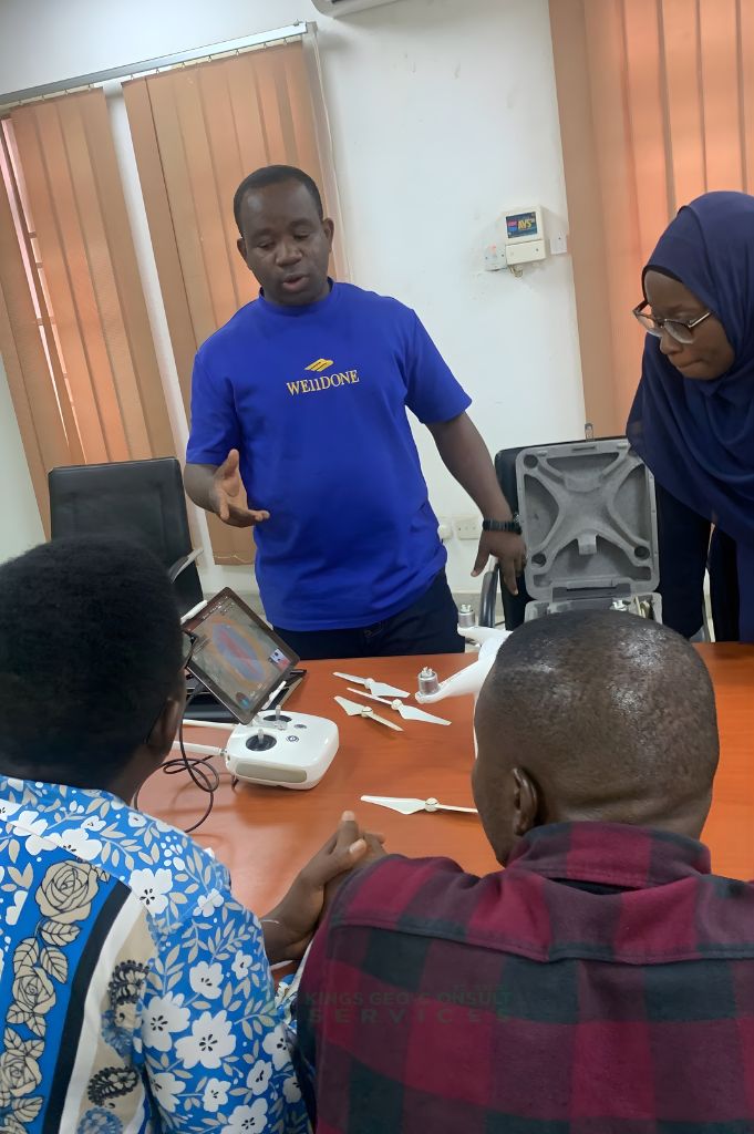
About us
- Home
- About
About Kings Geo-Consult Services LTD
Every successful project begins with clarity, the kind that saves costs, prevents disputes, and guides smart decisions. Kings Geo-Consult Services Ltd (RC 1803013) was founded to bring accuracy, integrity, and innovation into surveying across Nigeria.
Established in 2020 and registered in 2021, the company was built by Surv. Adewale Olusegun Abolaji, a seasoned surveyor, UAV pilot, and geospatial analyst with 10+ years of experience helping individuals, developers, engineers, and organizations make informed land-based decisions.
A SURCON Registered Surveyor (No. 5553) and an active member of the Nigerian Institution of Surveyors (NIS) and the Association of Private Practicing Surveyors of Nigeria (APPSN), he operates in full compliance with industry regulations and professional standards.
After witnessing how unreliable surveys and outdated methods caused delays, financial losses, and legal disputes, he set out to redefine modern surveying through precision and cutting-edge technology.
Our Core Values:
- Integrity
- Accuracy
- Innovation
- Client Education
- Timely Delivery
- Professionalism
Contact Us For More Enquiries
Call / Chat: +23480-6796-7560
Today, Kings Geo-Consult is a trusted partner to real estate developers, construction firms, government institutions, and private landowners across Lagos and beyond. Our expertise spans land, aerial, engineering, hydrographic, and GIS-powered mapping, supported by advanced tools like UAVs, GNSS/GPS, LiDAR, and professional GIS software.
But more than data, we provide peace of mind. We take time to educate our clients, break down complex land information, and guide decisions with honesty and clarity ensuring every client understands the full picture before taking action.
Our Mission:
- Deliver precise land, aerial, and hydrographic surveys powered by advanced innovation.
- Help clients make informed choices that save time, reduce cost, and prevent disputes
- Become Nigeria’s most trusted mapping and surveying partner.
When accuracy matters most, people choose Kings Geo-Consult Services Ltd.
how we work
Our Working Process

Select Your Service
Tell us the type of survey or mapping you need — land, drone, hydrographic, engineering, GIS, or UAV training.

Site Assessment & Confirmation
We evaluate your location, requirements, and project goals to recommend the best survey approach for you.

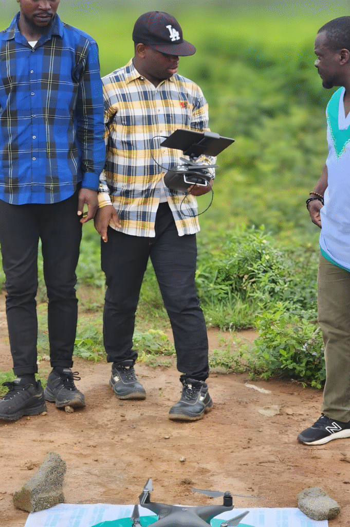
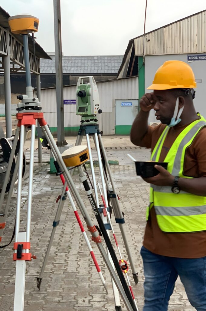
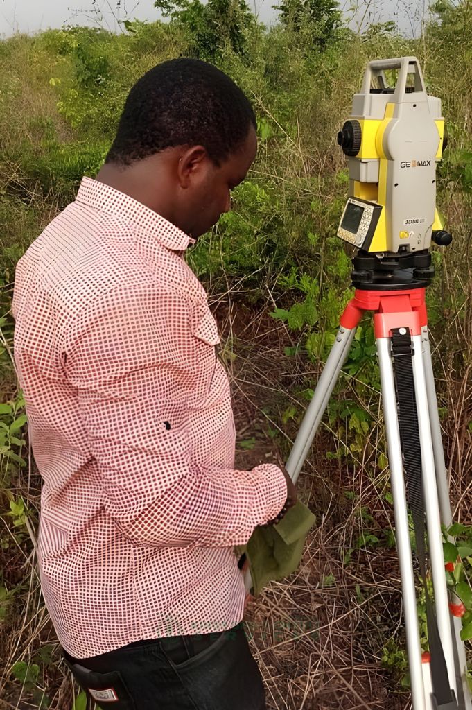
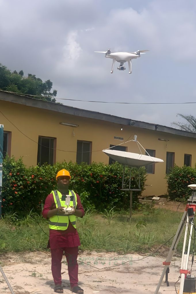
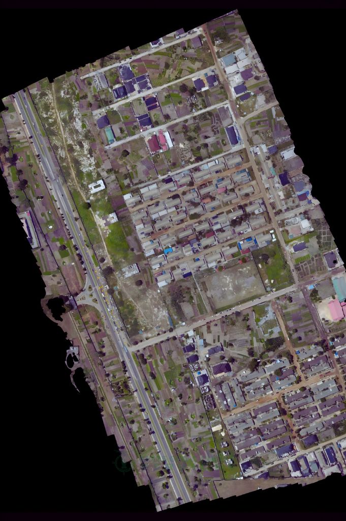
Survey Execution & Data Collection
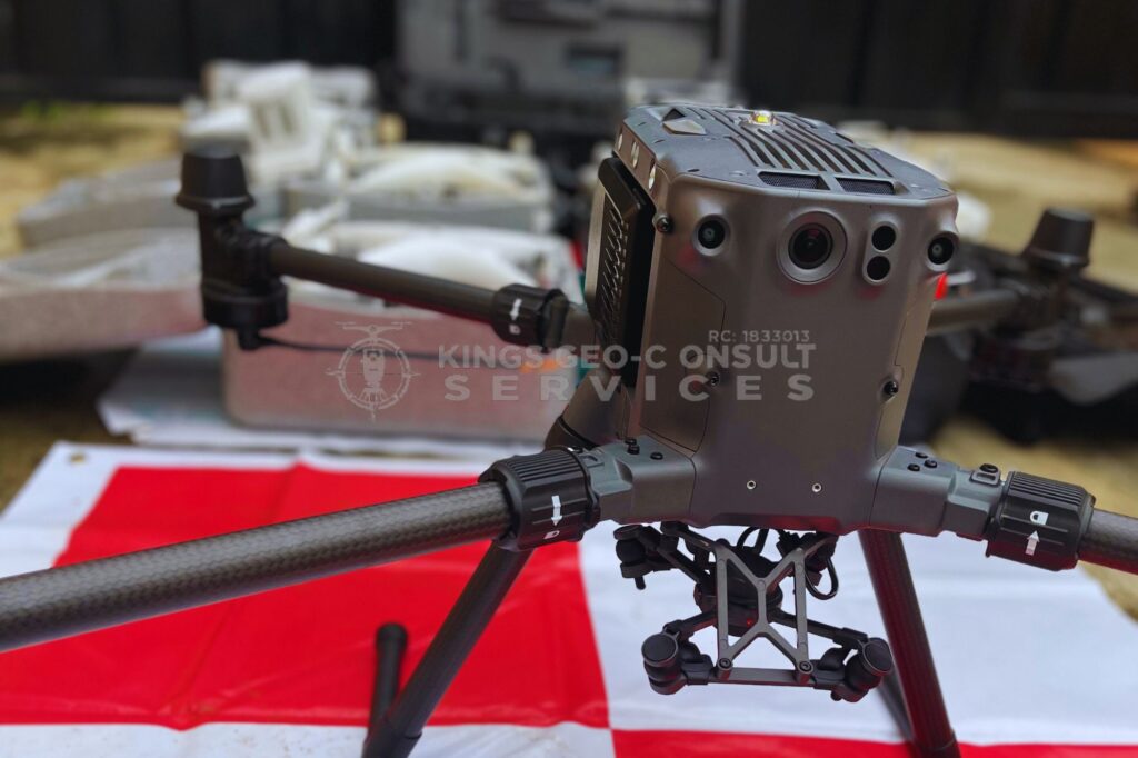
Our licensed team deploys advanced UAVs, GPS/GNSS, GIS tools and engineering-grade equipment for precise data capture.

Analysis, Reporting & Delivery
We process, analyze, and present clear, accurate, decision-ready reports — delivered on time, every time.
Jobs Completed
Happy Clients
States Covered
Trained in UAV & GIS
Why Choose Kings Geo-Consult?
...Mapping At Its Finest
01. Accurate & Reliable Surveying
We combine licensed expertise with professional-grade tools to deliver measurements you can trust.
02. Expertise You Can Trust
10+ years experience, certified professionals, and a strong track record with developers, institutions & private owners.
03. Integrity & Transparency
We educate clients, explain every detail, and provide honest, clear, and dispute-proof reports.
WHAT WE DO
Our expertise
01. Cadastral & Land Surveying
- Land Boundary Verification
- Plot & Estate Subdivision
- Title & Documentation Support
- Encroachment Detection
02. Aerial Mapping / Drone Surveying
- High-Resolution Terrain Mapping
- 3D Models & Orthomosaics
- Fast Large-Area Coverage
- Precision UAV Data Capture
03. Bathymetry & Hydrographic Surveying
- Water Depth Measurement
- Coastal & Waterway Mapping
- Marine Navigation Support
- Seabed & Terrain Profiling
04. UAV / Drone Training Programs
- Hands-On Flight Training
- Mapping & Data Processing
- Industry-Standard Techniques
- Certification-Ready Guidance
05. Geographical Information Systems (GIS)
- Spatial Data Analysis
- Mapping & Visualization
- Asset & Land Management
- GIS Database Development
06. Engineering & Construction Surveying
- Construction Layouts
- As-Built Survey
- Monitoring & Level Checks
- Alignment & Setting-Out
