Ikeja is not just another location in Lagos. It is a high activity zone where government, commercial, industrial, and infrastructure projects operate side by side. In environments like this, decisions cannot be based on assumptions.
They must be based on accurate and current data.
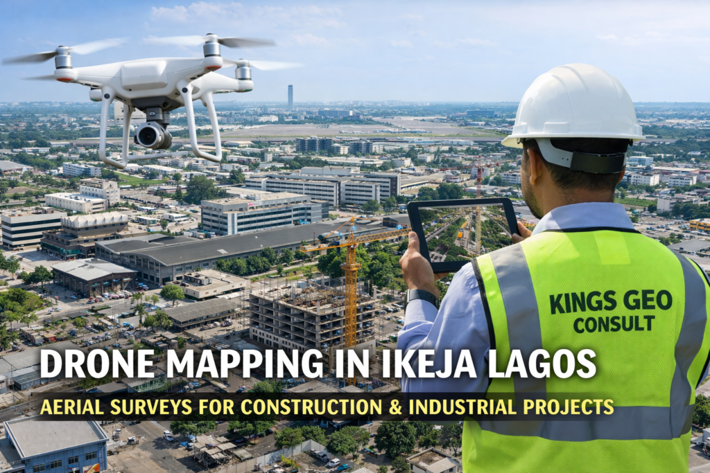
Drone Mapping in Ikeja Lagos for Construction, Industrial, and Infrastructure Projects
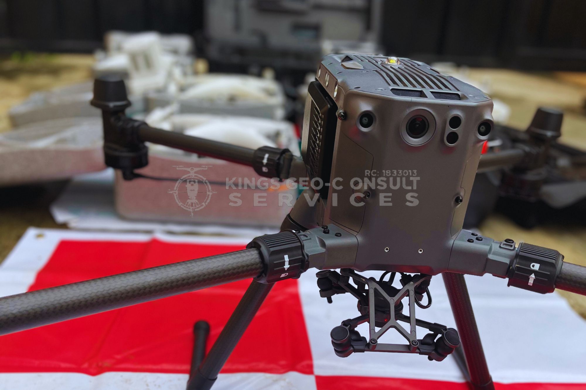
At Kings Geo Consult, we provide professional drone mapping in Ikeja Lagos designed for projects that require precision, speed, and reliability.
Our aerial mapping services give you a complete visual and data driven understanding of your site so you can plan better, reduce risk, and execute with confidence.
Why Drone Mapping Is a Smart Advantage in Ikeja
Ikeja presents complex project conditions. There are dense developments, restricted zones, industrial layouts, and high value infrastructure projects. Traditional site inspection methods often fail to capture the full picture in these environments.
Drone mapping changes that.
With aerial mapping, you gain a complete site overview in a single operation. You can see layout, structure, terrain, and surrounding conditions without delays or guesswork.
For developers and engineers working in Ikeja, this means faster decisions, fewer mistakes, and better project control.
What You Get From Our Drone Mapping Services in Ikeja
Our drone mapping service is built to deliver real value, not just visuals.
- High resolution aerial site coverage
- Orthomosaic maps for planning and analysis
- Accurate terrain and elevation data
- Construction progress tracking and documentation
- Site inspection reports with clear visual data
- Mapping support for layout and development planning
Every output is processed to ensure it is usable for decision making, not just presentation.
Use Cases for Drone Mapping in Ikeja
Drone mapping is highly effective across different project types in Ikeja.
- Construction sites requiring progress tracking
- Industrial layouts and facility planning
- Infrastructure and road development projects
- Large land assessments and site evaluations
- Government and institutional projects
If your project involves land, structure, or planning, drone mapping provides a clearer path forward.
Why Projects in Ikeja Require Aerial Mapping
In Ikeja, delays and errors are expensive. Misjudging site conditions or relying on incomplete data can affect timelines, budgets, and approvals.
Drone mapping allows you to:
- Understand site conditions before major decisions
- Monitor project progress without constant physical presence
- Identify issues early before they escalate
- Communicate project status clearly to stakeholders
This reduces uncertainty and improves coordination across teams.
Accuracy Backed by Surveying Expertise
Drone mapping alone is not enough. Accuracy depends on how the data is captured, processed, and interpreted.
At Kings Geo Consult, drone mapping is backed by professional surveying expertise. This ensures that aerial data aligns with real ground measurements and project requirements.
The result is reliable information that can be used confidently for planning, execution, and reporting.
Built for Developers, Engineers, and Decision Makers
Our drone mapping service in Ikeja is designed for people who need clarity to act.
Real estate developers planning or managing projects
Construction companies handling active sites
Engineers and consultants requiring accurate site data
Industrial project managers
Government and institutional planners
If your decisions depend on accurate site understanding, drone mapping becomes essential.
Why Choose Kings Geo Consult for Drone Mapping in Ikeja
Clients choose Kings Geo Consult because we combine technology with practical experience.
Professional UAV operations with real project understanding
Accurate and high resolution outputs you can rely on
Clear reports that support real decisions
Experience across construction, industrial, and infrastructure projects
Reliable turnaround aligned with project timelines
We focus on delivering results that improve how you plan and execute projects.
Coverage Across Ikeja and Surrounding Areas
We provide drone mapping services across Ikeja including government zones, industrial areas, commercial districts, and surrounding corridors.
Whether your project is large or complex, our team is equipped to support you.
Book Drone Mapping in Ikeja Today
If you need clear, accurate, and reliable aerial mapping for your project in Ikeja, we are ready to support you.
Call now to discuss your project requirements
Schedule a site inspection with our drone mapping team