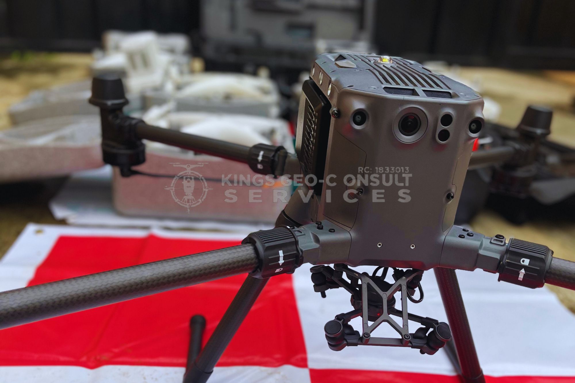
Kings Geo-Consult operates under a fully licensed surveyor registered with the Surveyors Council of Nigeria (SURCON), Registration No. 5553. This means all our surveys meet official regulatory standards and are legally recognized across Nigeria.

Acquiring landed properties of any kind without a professional survey is like building a house without a foundation. You might get lucky, but the risks are enormous. A licensed land surveyor protects your investment, saves you from legal battles, and gives you confidence in your property ownership.
Yes, Kings Geo-Consult is an active member of the Association of Private Practicing Surveyors of Nigeria (APPSN), ensuring we follow strict professional and ethical surveying standards. Kings Geo-Consult is trusted across Lagos because we combine licensed land surveying expertise with deep local knowledge and a client-first approach:
If your property is in Lagos, our team is ready to support your project.
We don’t just measure land, we help clients avoid costly mistakes and build with confidence across Lagos, including Eti-Osa, Ikeja, Surulere, Apapa, Lagos Island, and surrounding areas.
Avoid disputes, delays, and uncertainty. Work with licensed surveyors trusted across Lagos. Need professional help? Call now for inspection or enquiries on:
At Kings Geo-Consult, we understand that clients often have similar questions across different survey types. These FAQs provide quick, clear answers to help you make informed decisions, understand our process, and know what to expect from our team.
Project duration depends on the service type and site conditions, but most surveys are completed within 3–21 working days. Larger or multi-phase projects may take longer. We always provide a clear timeline before starting.
You only need to share basic details like your site location, project objective, and access requirements. Our team will guide you through any additional documents needed, such as coordinates or previous survey records.
Yes. All clients receive plans, digital maps, drawings, geospatial files, and reports in easy-to-use formats like PDF, AutoCAD, Google Earth, and GIS datasets. We also provide guidance on how to interpret and use the results.