Surulere is one of the most active urban areas in Lagos, known for its mix of residential properties, commercial spaces, and ongoing redevelopment projects. With limited space and high development pressure, every decision must be precise.
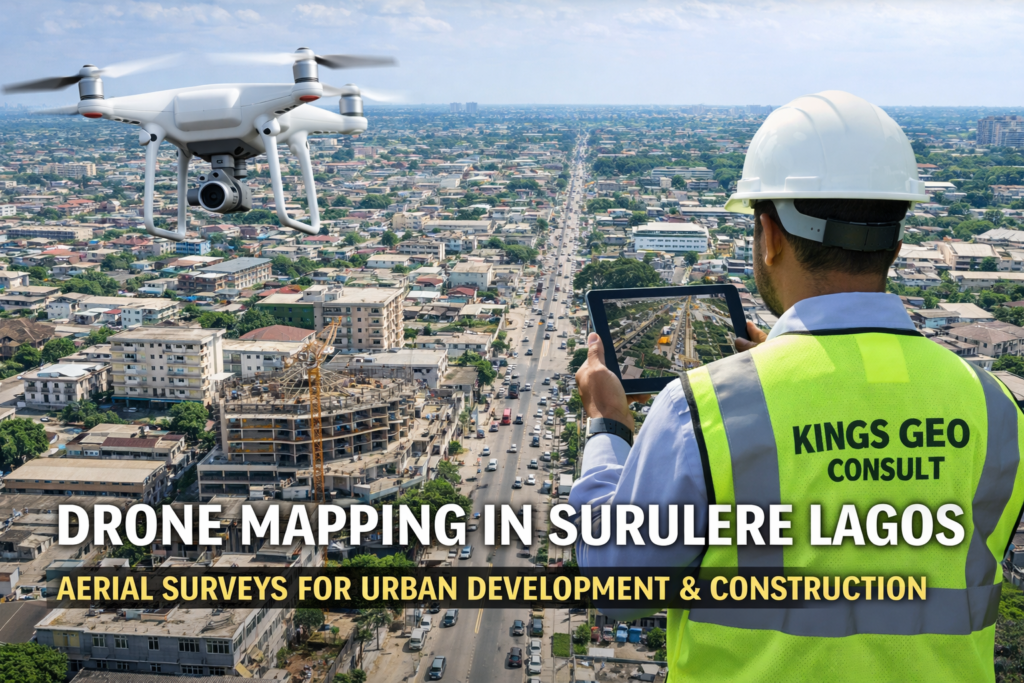
At Kings Geo Consult, we provide professional drone mapping in Surulere Lagos to help developers, property owners, and construction teams understand their sites clearly and act with confidence.
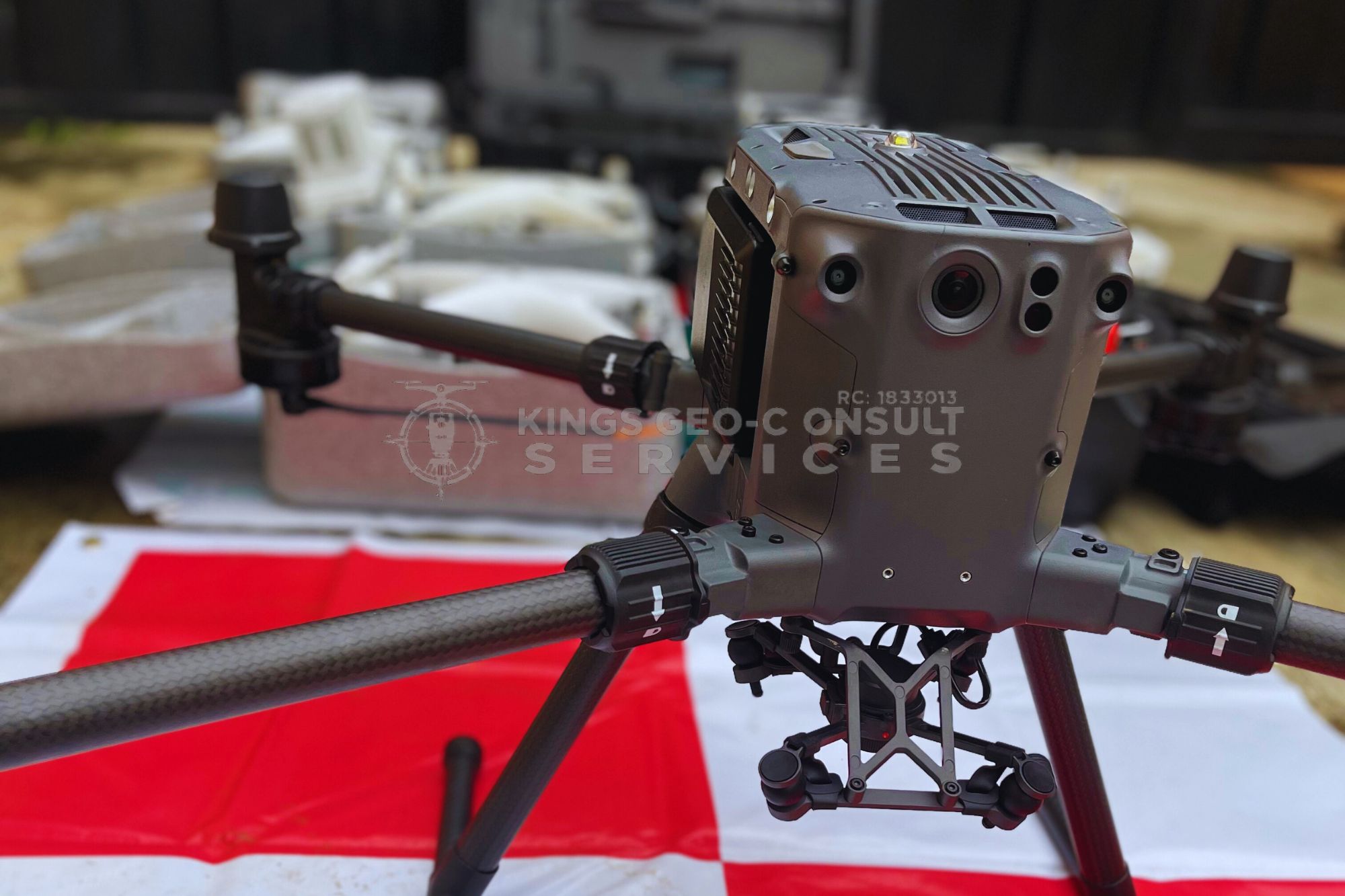
Our drone mapping services deliver accurate aerial data that supports planning, monitoring, and execution across urban projects.
Why Drone Mapping Is Essential in Surulere
Surulere presents a different type of challenge compared to other parts of Lagos. The area is densely built, with closely spaced structures, active roads, and ongoing redevelopment.
Traditional inspection methods often miss critical details or take too long to deliver usable insights.
Drone mapping provides a complete aerial view of the environment, allowing you to see site layout, surrounding structures, and project conditions instantly.
For projects in Surulere, this means better planning, fewer surprises, and improved coordination.
What You Get From Our Drone Mapping Services in Surulere
Our drone mapping service is designed to deliver practical value for real projects.
High resolution aerial site imagery
Orthomosaic maps for planning and visualization
Accurate terrain and layout representation
Construction progress tracking
Site inspection and reporting
Mapping support for redevelopment and layout planning
All outputs are processed to ensure they are usable for decision making and project execution.
Who Needs Drone Mapping in Surulere
Our services are ideal for:
Developers working on residential or mixed use projects
Construction companies managing urban sites
Property owners planning redevelopment
Engineers and planning consultants
Project managers overseeing multiple sites
Drone mapping provides the clarity needed to manage projects in a dense environment.
Benefits of Drone Mapping for Surulere Projects
Drone mapping delivers strong advantages in urban areas like Surulere.
Clear understanding of tight site layouts
Improved planning for redevelopment projects
Accurate tracking of construction progress
Reduced need for frequent physical inspections
Better communication with stakeholders
These benefits help reduce delays and improve project outcomes.
Built for Urban Project Conditions
Projects in Surulere require careful coordination and attention to detail. Space is limited and mistakes can be costly. Kings Geo Consult understands these realities and delivers drone mapping solutions that align with urban project demands.
Accuracy You Can Trust
Drone mapping must be accurate to be useful. Our approach combines aerial data capture with professional surveying expertise to ensure reliability.
This ensures that the information provided can be used confidently for planning and execution.
Why Choose Kings Geo Consult in Surulere
Clients choose Kings Geo Consult because we provide:
Professional drone mapping backed by surveying knowledge
Accurate and high resolution outputs
Clear reports that support real decisions
Experience with urban construction and redevelopment
Reliable turnaround times
We focus on delivering results that improve how projects are executed.
Serving Surulere and Nearby Areas
We provide drone mapping services across Surulere and surrounding locations, supporting residential, commercial, and redevelopment projects.
Our team is equipped to handle projects of varying complexity.
Book Drone Mapping in Surulere Today
If you need accurate aerial mapping for your project in Surulere, we are ready to assist.
Call now to discuss your project
Schedule a site inspection with our drone mapping team