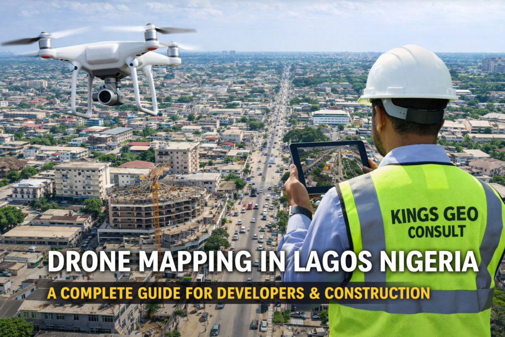
Do you actually understand the land you are working on?
From estate development in Lekki to commercial construction in Ikeja and redevelopment projects in Surulere, the difference between a smooth project and a costly mistake often comes down to the quality of your site data.
This is why drone mapping is becoming a standard for developers and engineers who want clarity before execution.
At Kings Geo Consult Ltd, drone mapping is used to help clients see their sites clearly, plan accurately, and execute projects without unnecessary delays or surprises.
What Drone Mapping Really Means for Your Project
Drone mapping is the process of capturing aerial data using unmanned aerial systems and converting that data into accurate maps, models, and visual reports.
But in practical terms, it means this:
You can see your entire site from above
You can measure distances and layout accurately
You can track progress without being physically present
You can detect issues early before they become expensive
Instead of relying on assumptions or limited ground inspection, you now have a complete visual understanding of your project.
Why Drone Mapping Is Growing Fast in Lagos
Lagos is not a simple environment to build in.
Land is expensive
Space is limited
Mistakes are costly
Projects move fast
Traditional surveying methods are still important, but they are often not enough on their own.
Drone mapping fills that gap by providing fast, high resolution, and scalable data that supports decision making.
For many developers, it has become the difference between reacting to problems and preventing them.
Real Use Cases Across Lagos
Drone mapping is already being used across different types of projects in Lagos.
Estate Development in Lekki and Ajah
Developers use aerial mapping to plan layouts, monitor construction, and present projects clearly to investors.
Construction Projects in Ikeja
Engineers use drone data to track progress, manage site activities, and reduce manual inspection time.
Urban Redevelopment in Surulere
Property owners and consultants use aerial data to understand existing structures and plan redevelopment efficiently.
Waterfront and Coastal Projects
Drone mapping helps capture accurate data in areas where traditional methods are more difficult to execute.
These are not theoretical use cases. They are happening every day across Lagos.
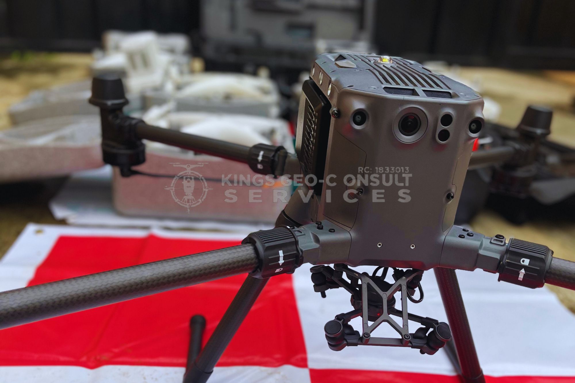
Technology Behind Drone Mapping
The value of drone mapping depends on the quality of the tools and the expertise behind them.
At Kings Geo Consult, drone mapping combines:
High resolution UAV systems for aerial capture
RTK enabled positioning for improved accuracy
GIS software for data processing and analysis
Advanced mapping tools for orthomosaic and terrain modeling
This ensures that the data delivered is not just visual, but accurate and usable for real decisions.
What You Actually Get After a Drone Mapping Project
When a drone mapping project is completed, the outputs are designed to support planning, communication, and execution.
Clients typically receive:
High resolution aerial imagery
Orthomosaic maps for accurate layout visualization
3D terrain models
Site inspection visuals
Progress tracking reports
These outputs help you move faster and make better decisions at every stage of your project.
When You Should Use Drone Mapping
Drone mapping is most valuable when timing and accuracy matter.
Before starting a construction project
During site planning and layout design
While monitoring construction progress
When inspecting large or complex sites
When presenting projects to stakeholders or investors
If your project involves land, structure, or development, drone mapping gives you an advantage.
How the Process Works
A typical drone mapping project follows a structured process.
First, the site is reviewed and flight planning is done based on project requirements.
Next, aerial data is captured using drones with proper coverage and positioning.
After capture, the data is processed using mapping and GIS software to generate accurate outputs.
Finally, results are delivered in formats that are easy to use for planning, reporting, and execution.
This process ensures consistency, accuracy, and reliability.
Why Developers and Engineers Choose Kings Geo Consult
Drone mapping is not just about flying a drone. It is about understanding land, measurement, and data interpretation.
Kings Geo Consult stands out because:
We combine drone mapping with professional surveying expertise
We deliver accurate and reliable outputs
We understand construction and development workflows
We provide clear reports that support real decisions
We operate across key locations in Lagos
This combination ensures that clients are not just getting images, but usable intelligence.
Coverage Across Lagos
Drone mapping services are available across major areas in Lagos including:
Eti Osa
Ikeja
Surulere
Lekki
Ajah
Victoria Island
Ikoyi
Our team is positioned to respond quickly and deliver consistent results across these locations.
Drone Mapping vs Traditional Survey
Drone mapping does not replace traditional surveying. It enhances it.
Traditional surveying provides precise ground measurements
Drone mapping provides a complete aerial perspective
When combined, they give a full understanding of a site.
This integrated approach is what modern projects require.
Ready to Get Started
If you need drone mapping in Lagos, the next step is simple.
Call now to discuss your project
Book a site inspection with our team