Most developers and engineers in Lagos do not ask:
Do I need drone mapping?
They ask it differently.
They say:
We need to understand this site better
We need faster progress tracking
We need to reduce errors on this project
What they are really asking for is clarity.
Drone mapping provides that clarity.
At Kings Geo Consult Ltd, most clients do not come requesting drone mapping directly. They come because something is unclear, slow, or risky.
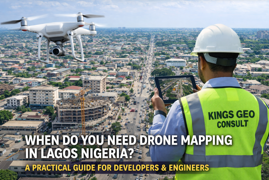
Drone mapping becomes the solution.
The Real Question Is Not If You Need It But When
Drone mapping is not something you use randomly. It is most valuable at specific stages of a project.
Knowing when to use it is what separates efficient projects from those filled with delays and mistakes.
1. Before You Start Any Project
This is the most important stage.
Before construction begins, you need a clear understanding of:
Site boundaries
Existing structures
Terrain conditions
Access routes
Without this clarity, planning becomes guesswork.
Drone mapping gives you a full aerial view of the site, allowing you to plan accurately from the start.
In areas like Eti Osa and Lekki where land value is high, mistakes at this stage can be extremely costly.
2. During Site Planning and Layout Design
Once you understand the land, the next step is planning how it will be used.
Developers and engineers use drone mapping to:
Visualize site layout
Position structures correctly
Plan roads and infrastructure
Avoid conflicts with existing features
Instead of relying on abstract drawings alone, you now have real visual data guiding your decisions.
3. When Managing Active Construction Projects
Construction sites in Lagos move fast.
Without proper monitoring, small issues can quickly become major problems.
Drone mapping allows you to:
Track construction progress visually
Identify deviations from plan
Monitor multiple sections of a site
Reduce the need for constant physical inspection
For projects in Ikeja and Surulere where activity is high, this level of visibility improves control.
4. When You Need to Inspect Large or Complex Sites
Some sites are too large or too complex for efficient ground inspection.
Examples include:
Large estates
Infrastructure projects
Industrial sites
Waterfront developments
Drone mapping makes it possible to capture the entire site quickly and safely.
This reduces time spent on inspection while improving accuracy.
5. When Presenting Projects to Stakeholders
Clear communication is a major challenge in construction and development.
Investors, partners, and clients need to understand what is happening on site.
Drone mapping provides:
Clear aerial visuals
Easy to understand project views
Professional presentation materials
This makes it easier to explain progress, justify decisions, and build confidence.
6. When Accuracy and Speed Are Critical
In Lagos, delays cost money.
Every extra day on a project can increase expenses and reduce profitability.
Drone mapping helps you:
Collect data faster
Reduce manual processes
Make quicker decisions
Instead of waiting days for site insights, you get usable information within a short time.
7. When You Want to Reduce Risk
Many project problems come from:
Incomplete information
Poor site understanding
Late detection of issues
Drone mapping reduces these risks by giving you a complete view of your project environment.
This allows you to act early instead of reacting late.
Common Mistake Developers Make
One of the biggest mistakes is waiting too late.
Many developers only consider drone mapping after problems appear.
At that point:
Changes are more expensive
Delays have already occurred
Decisions become reactive
Using drone mapping early changes the entire outcome of a project.
How Drone Mapping Fits Into Modern Projects
Modern construction and development require better data.
Drone mapping works best when combined with:
Land surveying
Engineering planning
Project management systems
This creates a complete understanding of the project from ground level to aerial view.
Why Clients Choose Kings Geo Consult
Clients choose Kings Geo Consult because we do more than capture aerial images.
We provide:
Accurate drone mapping backed by surveying expertise
Clear outputs that support decision making
Experience with Lagos based projects
Reliable delivery across key locations
This ensures that every project benefits from both accuracy and insight.
Where This Applies Across Lagos
Drone mapping is used across major locations including:
Eti Osa
Ikeja
Surulere
Lekki
Ajah
Victoria Island
Each location presents different challenges, but the need for accurate data remains the same.
Final Thought
If you are asking whether you need drone mapping, you are already close to the answer.
The real question is:
At what stage will it save you the most time, money, and stress?
The earlier you use it, the greater the advantage.