If you are planning a project in Lagos, one decision will affect everything that follows:
How you collect your site data.
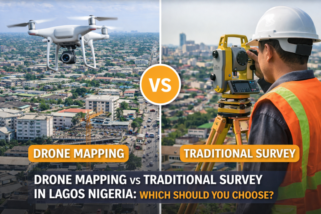
Most people assume there is only one approach. They think in terms of traditional land surveying.
But today, there is another option.
Drone mapping.
The real question is not which one is better overall. The real question is:
Which one is right for your project?
At Kings Geo Consult Ltd, clients often come in with this exact confusion. Once they understand how both methods work, the decision becomes clearer.
Understanding Traditional Survey
Traditional surveying has been the foundation of land measurement for years.
It involves:
Ground based measurements
Use of total station and GPS equipment
Physical marking of boundaries
Precise coordinate calculations
This method is highly accurate and essential for:
Legal documentation
Boundary definition
Title processing
Official approvals
Without traditional surveying, many projects cannot even begin.
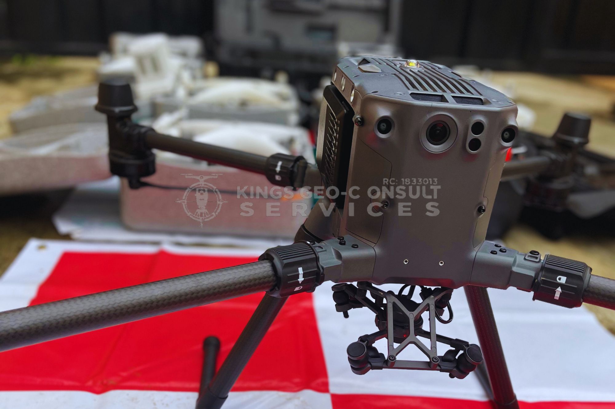
Understanding Drone Mapping
Drone mapping takes a different approach.
Instead of relying only on ground measurements, it captures aerial data across the entire site and converts it into usable maps and models.
This provides:
Full site visibility
High resolution imagery
Faster data capture
Visual representation of terrain and structures
Drone mapping focuses on speed, coverage, and visual clarity
Key Difference Between the Two
The biggest difference is perspective.
Traditional survey gives you precise points on the ground.
Drone mapping gives you a complete view of the entire site.
One is point based. The other is area based.
This difference changes how decisions are made.
Speed of Data Collection
In Lagos, time is a major factor.
Traditional surveying can take longer, especially for large sites.
Drone mapping can cover large areas within a short time and produce results faster.
For developers working on tight timelines, this speed matters.
Level of Detail and Visualization
Traditional survey provides accurate numbers and coordinates.
Drone mapping provides visual data that is easier to understand.
You can see:
Site layout
Nearby structures
Road access
Project progress
This makes communication easier between teams, clients, and stakeholders.
Accuracy Considerations
Both methods can be accurate when done properly.
Traditional survey is required for legal and boundary accuracy.
Drone mapping, when combined with proper control points and processing, provides reliable spatial data for planning and monitoring.
The best results often come from using both together.
When to Use Traditional Survey
You should rely on traditional surveying when:
You need legal documentation
You are defining property boundaries
You require official approvals
You are preparing survey plans
These are areas where precision and compliance are critical.
When to Use Drone Mapping
Drone mapping is ideal when:
You need to understand a large site quickly
You want to monitor construction progress
You need visual data for planning
You are managing multiple project sections
You want to present your project clearly
It is especially useful in areas like Eti Osa, Ikeja, and Surulere where development activity is high.
The Smart Approach Most Developers Use
Experienced developers do not choose one over the other.
They combine both.
Traditional surveying provides the foundation.
Drone mapping provides visibility and speed.
Together, they give a complete understanding of the project.
Common Mistake to Avoid
One mistake is relying only on traditional surveying for everything.
Another mistake is relying only on drone mapping without proper surveying input.
Both approaches create gaps.
Projects work best when both methods are used where they are strongest.
Why This Matters in Lagos
Lagos is complex.
High land value
Dense development
Fast project timelines
These conditions demand better data and smarter decision making.
Using the right combination of tools reduces risk and improves outcomes.
Why Clients Choose Kings Geo Consult
Kings Geo Consult provides both traditional surveying and drone mapping, allowing clients to get complete project insight.
Clients choose us because:
We understand both ground measurement and aerial mapping
We provide accurate and usable data
We support real projects across Lagos
We deliver clear outputs that guide decisions
This ensures that every project benefits from both accuracy and visibility.
Final Thought
You do not need to choose between drone mapping and traditional survey.
You need to understand when to use each.
If your project requires accuracy, clarity, and speed, the best approach is to combine both.