One of the first questions developers and property owners ask is simple:
How much does drone mapping cost in Lagos?
But the real answer is not a fixed number.
Drone mapping is not priced like a product. It is priced based on the complexity and value of the project.
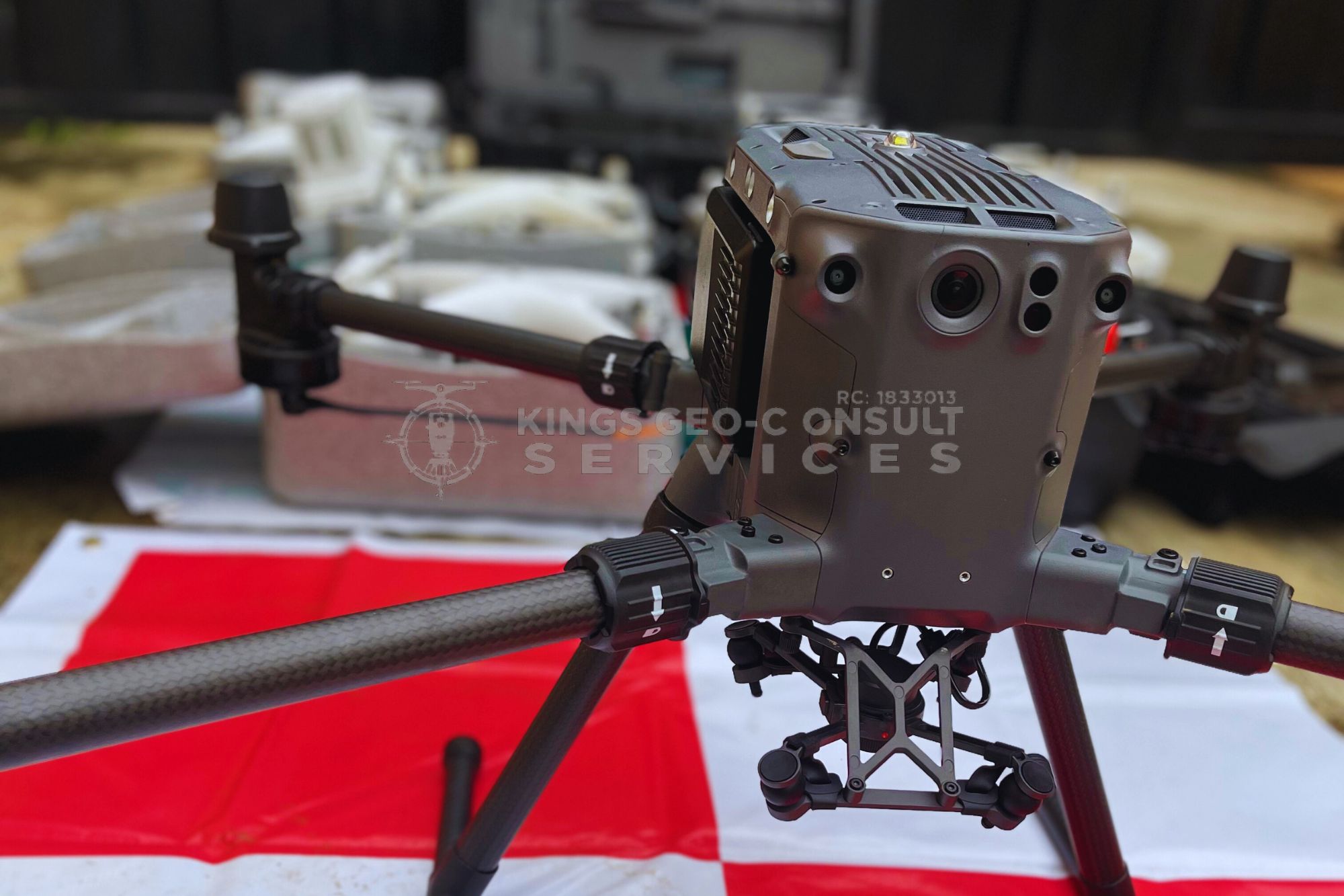
At Kings Geo Consult, pricing is structured around what it takes to deliver accurate and reliable data that can actually be used for planning and execution.
Why There Is No Fixed Price
If two people request drone mapping, the cost can be completely different.
Why?
Because no two sites are the same.
Some are small and straightforward.
Some are large and complex.
Some require basic imagery.
Others require detailed models and analysis.
Pricing reflects the effort, tools, and accuracy required.
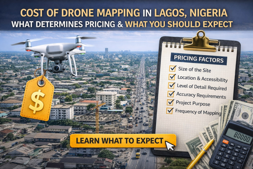
Key Factors That Affect Drone Mapping Cost
1. Size of the Site
This is the most obvious factor.
A small plot requires less flight time and data processing.
A large estate or construction site requires more coverage and more work.
Larger sites naturally cost more.
2. Location and Accessibility
In Lagos, location matters.
Sites in areas like Eti Osa or Victoria Island may have different access conditions compared to other areas.
Factors include:
Traffic and logistics
Airspace considerations
Ease of setup and operation
Difficult access can increase operational cost.
3. Level of Detail Required
Not every project requires the same output.
Some clients need:
Basic aerial images
Others need:
Orthomosaic maps
3D terrain models
Detailed site analysis
The more detailed the output, the more processing is required.
4. Accuracy Requirements
Higher accuracy requires more advanced processes.
This may include:
Ground control points
RTK positioning
Additional verification steps
Projects that require high precision will cost more than basic visual mapping.
5. Project Purpose
Why you need drone mapping affects the cost.
For example:
A simple inspection is different from a full construction monitoring project
A presentation visual is different from engineering level data
The purpose determines the depth of work involved.
6. Frequency of Mapping
Some projects require one time mapping.
Others require continuous monitoring over weeks or months.
Ongoing projects may involve:
Multiple site visits
Repeated data capture
Progress tracking reports
This affects total project cost.
Typical Cost Range in Lagos
While pricing varies, most drone mapping projects in Lagos fall within a range depending on scope.
Small scale site mapping
Medium scale construction projects
Large scale developments and infrastructure
Instead of focusing only on price, it is better to focus on value delivered.
What You Are Actually Paying For
When you pay for drone mapping, you are not just paying for a drone flight.
You are paying for:
Professional planning
Accurate data capture
Advanced processing
Usable outputs
Expert interpretation
This is what turns raw data into something valuable.
How to Avoid Overpaying or Underpaying
Many people make mistakes when evaluating cost.
Some go for the cheapest option and receive poor quality data.
Others overpay for services they do not need.
The right approach is to:
Define your project clearly
Understand what outputs you need
Work with professionals who can guide you
Why Cheap Drone Mapping Can Be Expensive
Low cost services often come with hidden risks:
Inaccurate data
Poor image quality
Incomplete coverage
Unusable outputs
These problems can lead to:
Wrong decisions
Project delays
Additional cost
Quality matters more than price.
How Kings Geo Consult Approaches Pricing
Kings Geo Consult focuses on delivering value, not just offering a price.
Our pricing considers:
Project requirements
Accuracy needed
Output expectations
Client objectives
This ensures that every client receives data that is actually useful.
How to Know What Your Project Will Cost
The best way to determine cost is through a quick project assessment.
This helps define:
Site size
Project goals
Required outputs
Timeline
From there, you receive a clear and realistic estimate.