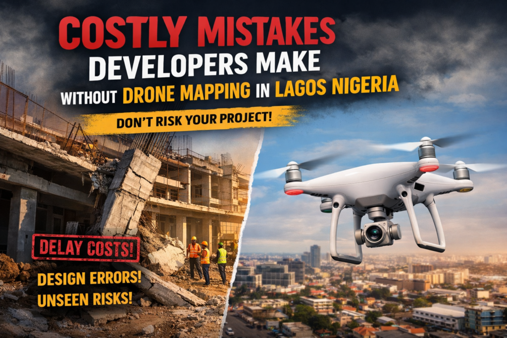
Most costly mistakes in Lagos construction and development projects do not happen because people lack experience.
They happen because people lack complete visibility.
Before problems show up on site, they already exist in the data you do not have.
At Kings Geo Consult Ltd, many clients come after issues have already started.
The pattern is always the same.
Something was missed.
Something was assumed.
Something was discovered too late.
Drone mapping solves this by showing you what you cannot see from the ground.
Not Fully Understanding the Site Before Starting
Many developers rely on limited site inspection before starting a project.
They walk the land, take a few measurements, and move forward.
What they miss:
Hidden terrain variations
Unnoticed structures
Access limitations
Environmental constraints
These gaps lead to poor planning.
Drone mapping gives you a full aerial view of the site before any decision is made.
Poor Site Planning and Layout Decisions
When planning is based on incomplete information, layout decisions become risky.
This can lead to:
Improper building placement
Inefficient use of space
Conflicts with existing features
In high value areas like Eti Osa and Lekki, even small mistakes can have major financial impact.
Drone mapping provides accurate visual data that supports better planning.
Delayed Detection of Construction Issues
Problems do not appear suddenly. They develop over time.
Without proper monitoring, developers often notice issues too late.
Examples include:
Deviation from design
Construction errors
Site misalignment
By the time these issues are discovered, correction becomes expensive.
Drone mapping allows you to monitor progress consistently and catch issues early.
Relying Only on Ground Level Perspective
Ground inspection has limitations.
You cannot see the full layout of a site from one position.
You miss:
Overall structure alignment
Site wide relationships
Progress across different sections
Drone mapping removes this limitation by giving you a complete site view.
Poor Communication Between Teams
Many project delays come from miscommunication.
Different stakeholders have different interpretations of what is happening on site.
This leads to:
Confusion
Delays
Wrong decisions
Drone mapping provides clear visuals that everyone can understand.
It aligns teams and improves coordination.
Underestimating Project Risk
Without full data, risks remain hidden.
This includes:
Structural risks
Planning errors
Environmental challenges
When these risks surface late, they affect cost and timeline.
Drone mapping helps identify potential risks early.
Making Decisions Based on Assumptions
Assumptions are expensive in Lagos.
Land is valuable.
Construction costs are high.
Delays reduce profit.
Every decision should be based on accurate data, not guesswork.
Drone mapping replaces assumptions with clarity.
Why These Mistakes Keep Happening
The reason is simple.
Many developers still rely on traditional methods alone.
While traditional surveying is essential, it does not provide full visibility.
Modern projects require both:
Ground accuracy
Aerial perspective
How to Avoid These Mistakes Completely
Avoiding these mistakes is not complicated.
You need to:
Capture accurate site data before starting
Use aerial mapping during planning
Monitor progress consistently
Combine drone mapping with professional surveying
This creates a complete understanding of your project.
What Smart Developers Do Differently
Experienced developers in Lagos do not wait for problems.
They invest in clarity early.
They use drone mapping to:
Plan better
Monitor smarter
Reduce risk
Make faster decisions
This approach leads to better outcomes and fewer surprises.
Why Clients Choose Kings Geo Consult
Kings Geo Consult helps clients avoid costly mistakes by providing:
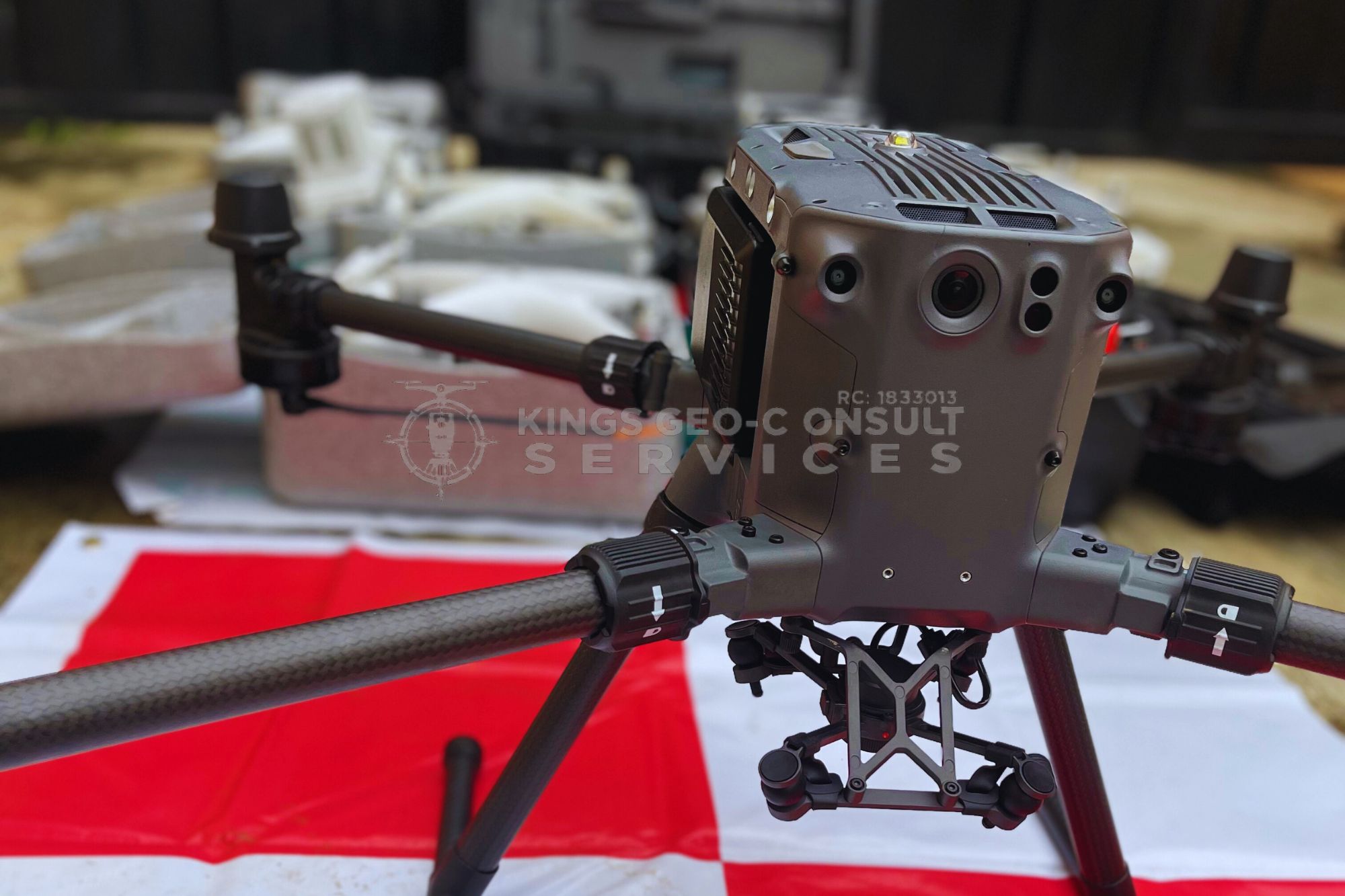
Accurate drone mapping services
Clear site visualization
Reliable project data
Experience across Lagos locations
We focus on giving you the information you need before problems appear.
Where This Matters Most
These mistakes are common across high activity areas like:
Eti Osa
Ikeja
Surulere
Lekki
Victoria Island
In these locations, the cost of mistakes is higher, making accurate data even more important.
Final Thought
Most project problems are not sudden.
They are the result of missing information at the beginning.
Drone mapping gives you that missing information.
The earlier you use it, the more problems you prevent.
Ready to Avoid Costly Mistakes
If you are planning or managing a project in Lagos:
Call now to discuss your project
Book a drone mapping session