Drone surveying is no longer the future, it’s the present. In Lagos, where land use and development move at lightning speed, UAV mapping offers unmatched accuracy, speed, and efficiency.
In the city of Lagos, property development, construction, and infrastructure projects are expanding at record speed.
With land at a premium and regulations becoming stricter, the demand for precise and timely surveys has never been higher. Traditional surveying methods, while reliable, are often slow and expensive.
This is where drone surveying in Lagos is changing the game.
At Kings Geo-Consult Service Ltd, we combine Unmanned Aerial Vehicles (UAVs) with advanced geospatial technology to deliver faster, smarter, and more accurate surveys giving clients the data they need to make confident decisions.
What is Drone Surveying and How Does it Work?
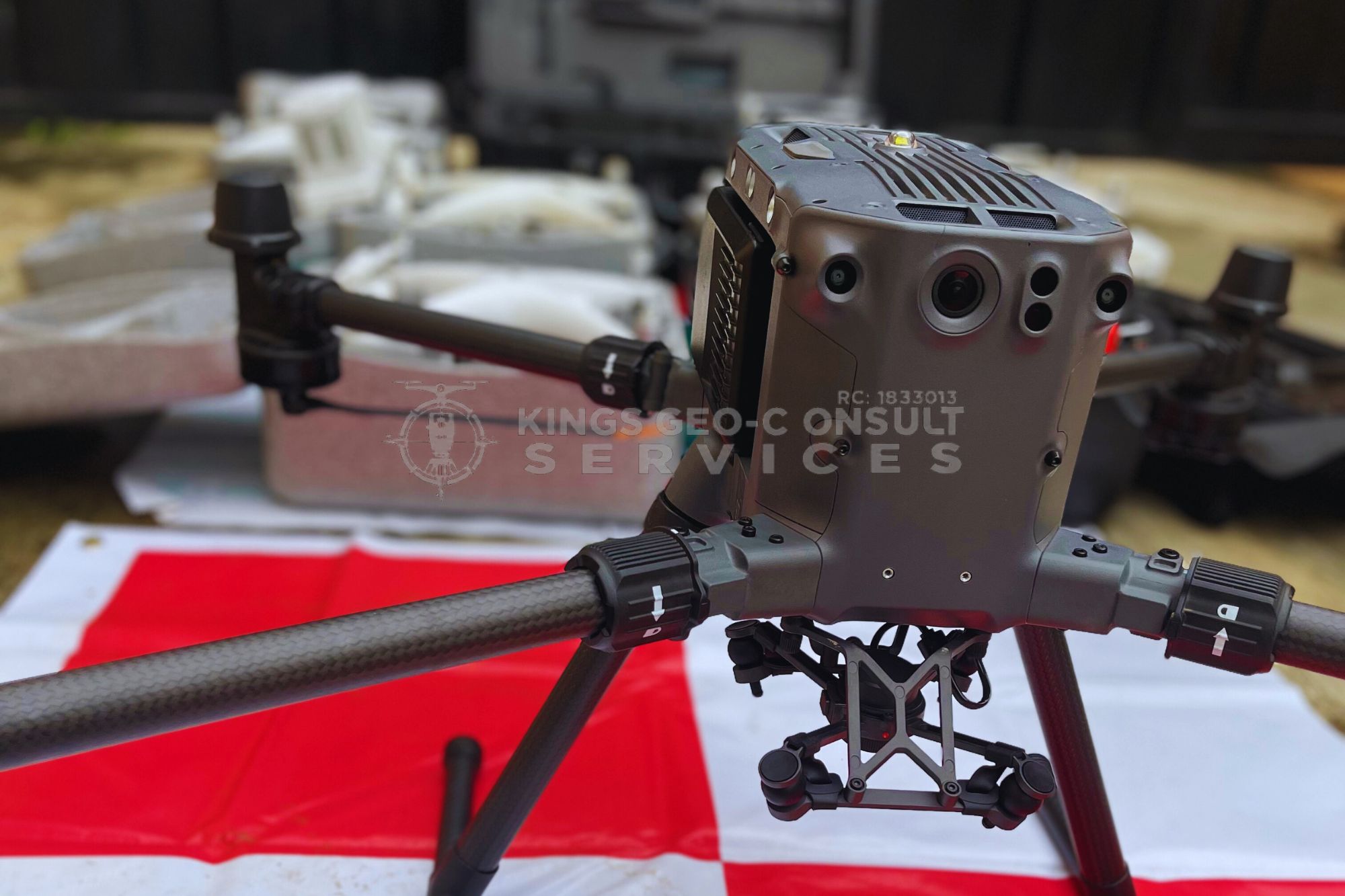
Drone surveying (also known as UAV mapping or aerial mapping) involves using high-tech drones equipped with specialized cameras and sensors to capture aerial images of land and property. These images are processed into accurate 2D maps, 3D models, and digital elevation models (DEMs).
Unlike traditional methods that require weeks of fieldwork, drone surveying can cover large areas in hours, providing precise measurements with minimal human error.
Key Benefits of Drone Mapping in Lagos
1. Faster Data Collection
In a bustling city like Lagos, time is money. Developers in Ikeja, Lekki, and Apapa often need survey results quickly to move projects forward. Drone mapping allows us to survey large estates, construction sites, and even waterfront areas in record time.
2. Cost-Effective Compared to Manual Surveys
Traditional surveys can require multiple field teams, heavy equipment, and extended site visits. With UAVs, costs are reduced because fewer resources are needed, making drone surveys ideal for real estate developers and contractors looking to save money without compromising accuracy.
3. High-Resolution Imagery & Accuracy
Using advanced UAVs, we provide high-resolution aerial images and 3D terrain models. This level of detail is essential for property developers who want precise boundaries, for engineers planning construction, and for estate managers monitoring large tracts of land.
Industries Benefiting from Drone Surveys in Lagos
- Real Estate Developers: Quickly map estates in Lekki or Eti-Osa before subdivision and sales.
- Construction Firms: Monitor progress in Ikeja, Mushin, or Surulere with accurate cut-and-fill calculations.
- Government & Infrastructure: Plan roads, drainage, and utilities with geospatial data.
- Oil & Gas / Hydrographic Projects: Map waterways such as Five Cowries Creek for environmental and engineering use.
Case Studies from Lagos
- Eti-Osa Waterfront Development: Drone mapping allowed for precise shoreline monitoring and encroachment detection.
- Post-Service Army Estates: Large-scale aerial mapping was delivered faster than traditional survey methods, saving both time and costs.
- Federal University of Technology, Akure (FUTA): UAV surveys provided accurate campus layout data for planning and development.