Skip to content
Home
About Us
Services
Land Surveying
Drone & Aerial Mapping
Eti-Osa Lagos
Ikeja Lagos
Surulere Lagos
Hydrographic (Bathymetry)
Construction & Engineering
Geospatial Mapping (GIS)
UAV / Drone Training
Locations
Eti-Osa, Lagos
Alimosho, Lagos
Ikeja, Lagos
Surulere, Lagos
Contact Us
FAQs
Portfolio
Resources
Call Us:
+234(0)806 796 7560
our services
Home
services
WHAT WE DO
Our expertise
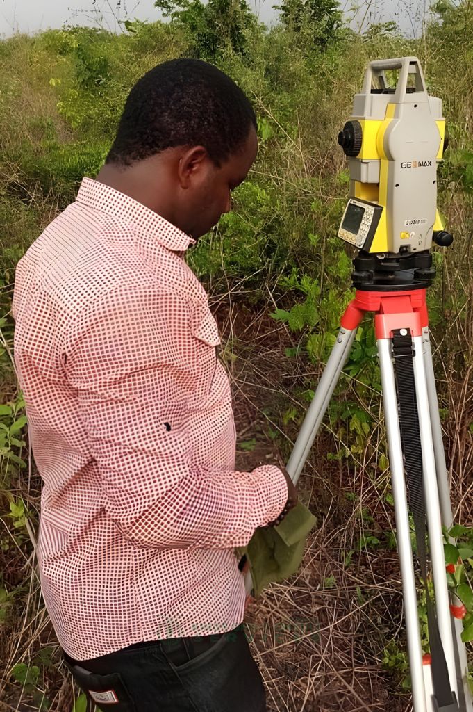
01. Cadastral & Land Surveying
Land Boundary Verification
Plot & Estate Subdivision
Title & Documentation Support
Encroachment Detection
Learn More
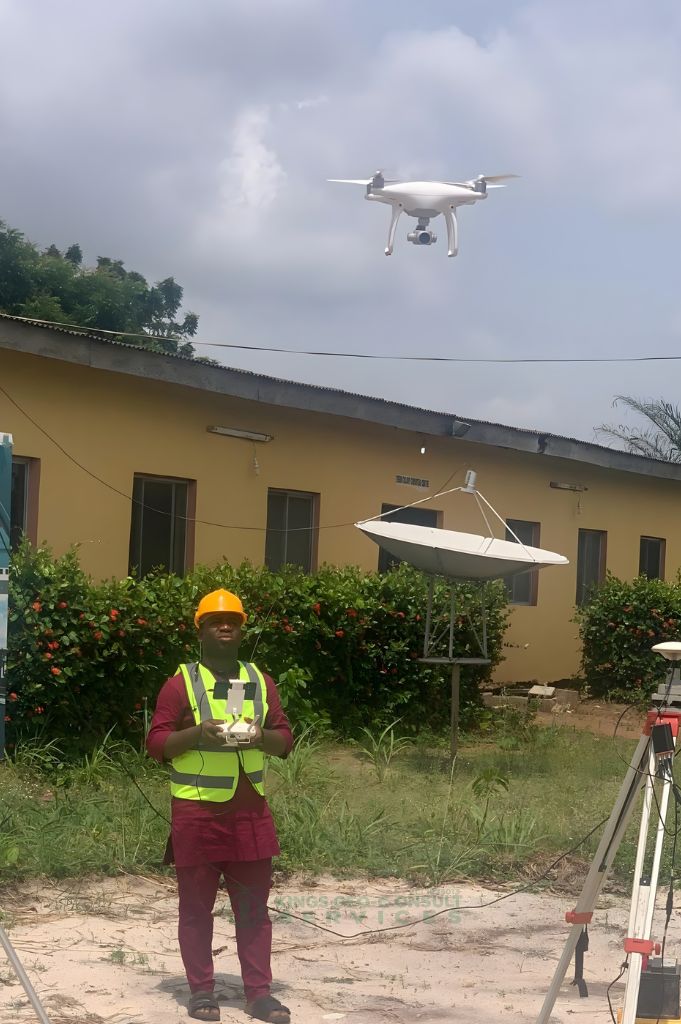
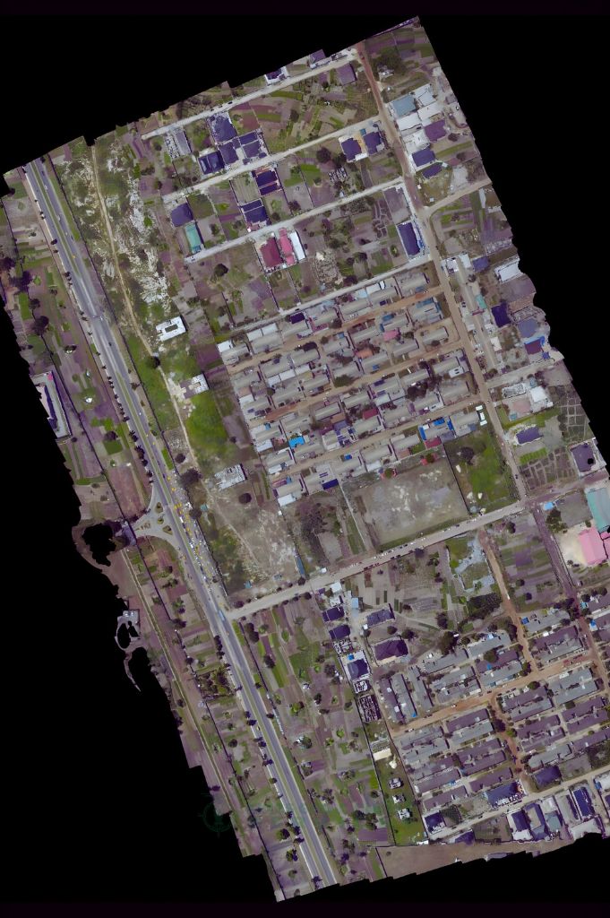
02. Aerial Mapping / Drone Surveying
High-Resolution Terrain Mapping
3D Models & Orthomosaics
Fast Large-Area Coverage
Precision UAV Data Capture
Learn More
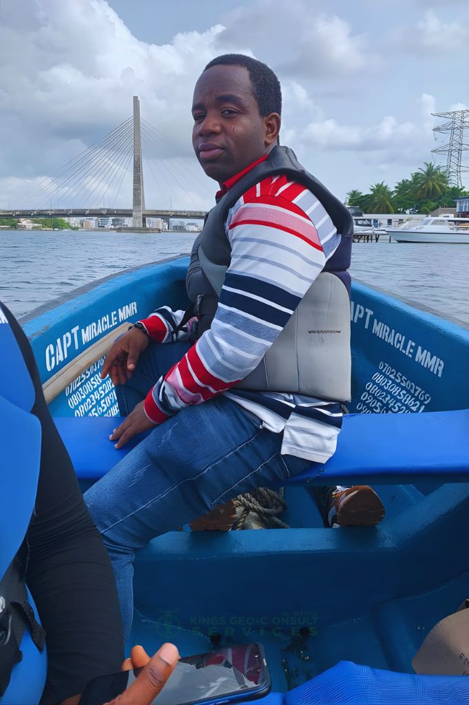
03. Bathymetry & Hydrographic Surveying
Water Depth Measurement
Coastal & Waterway Mapping
Marine Navigation Support
Seabed & Terrain Profiling
Learn More
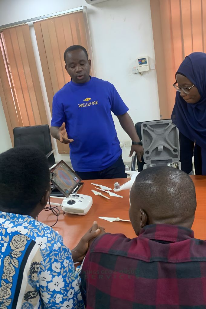
04. UAV / Drone Training Programs
Hands-On Flight Training
Mapping & Data Processing
Industry-Standard Techniques
Certification-Ready Guidance
Learn More
05. Geographical Information Systems (GIS)
Spatial Data Analysis
Mapping & Visualization
Asset & Land Management
GIS Database Development
Learn More
06. Engineering & Construction Surveying
Construction Layouts
As-Built Survey
Monitoring & Level Checks
Alignment & Setting-Out
Learn More